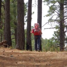
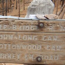
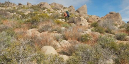
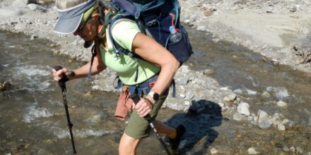
Free GIS for map display

Google Earth is a workhorse that we use for many things. All our wilderness visit tracks are available for download as Google Earth kmz files. It is also invaluable for route planning and for displaying kmz files available from other … Read More

Recent Wildfires

MTBS or Monitor Trend in Burn Severity is a website that benefits from the billions of dollars spent on fire control every year by federal agencies. The MTBS site includes a wealth of information on every wildfire in the U.S. … Read More

Real-Time Streamflow

U.S. Geological Survey has a complicated website on water monitoring information that is scheduled to be changed within a year or so (we hope for the better). So we will not spend too much time trying to explain present system. … Read More

High Uintas Hurt Ends an Era

It happened on the third day of a three-week trip in the High Uinta Wilderness in northern Utah. I was coming down Red Knob Pass—the second, steep thousand-foot descent of the day. The first was a skittery scramble on washed-out … Read More