Revisiting Wrightson: Restoration and Reclusion
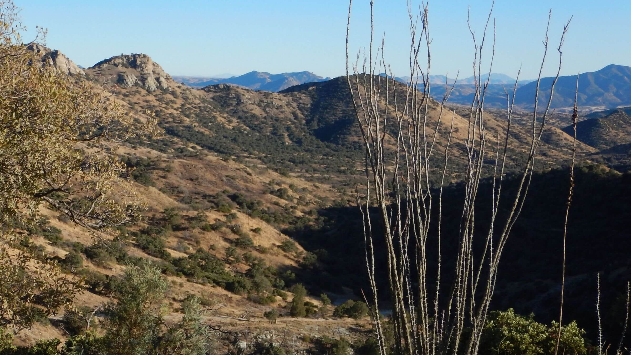
Our 2025 return to Mount Wrightson Wilderness found vigorous new pine forests, improved trails, and a greatly restored forest 20 years after Florida Fire of 2005.
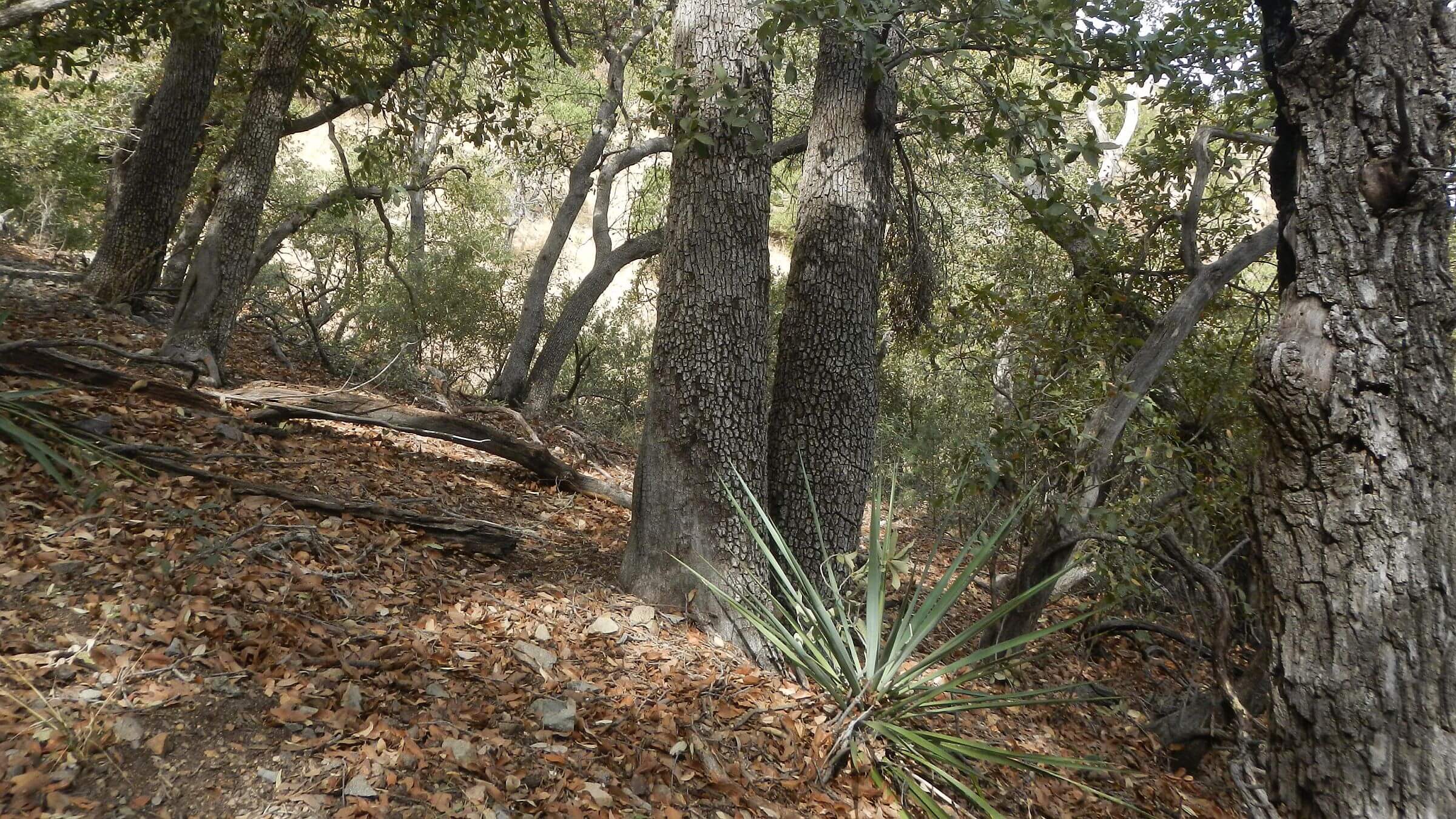
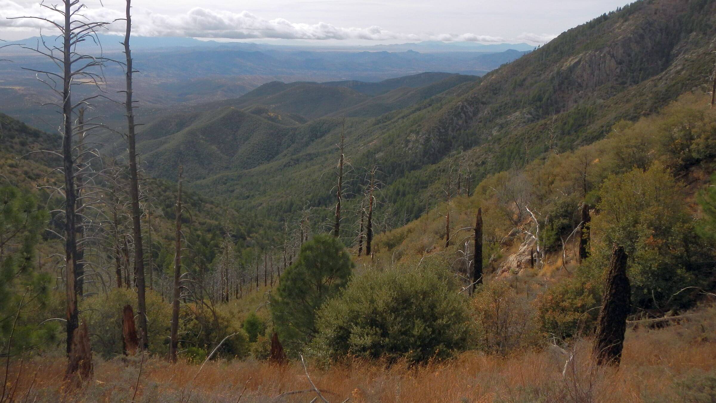
But start and end on Florida Canyon was slow: 3.5 hours up for me and 3.25 hours down for only 4.5 miles—partly due to steep climb we didn’t even notice in 1974. Of course, we were younger and fleeter, but also the wide, needle-carpeted trail through giant Douglas fir and pine was faster hiking than current thin tread winding up open slopes with rocky eroded stretches—result of fire ignited by lightning that struck a tree in the canyon.
Mount Wrightson (designated in 1985) was not even wilderness the first time I visited it in 1973—my very first backpacking trip with the University of Arizona Ramblers Hiking Club. A newbie hiker wearing blue jeans and carrying an army-surplus backpack with sleeping bag bouncing on a bungie cord, I still kept up with hike leaders to our camp at Florida Spring.
The next morning, I hiked switchbacks in the dark to enjoy sunrise lighting up valleys and hills into Mexico from contouring Crest Trail (now too fire-eroded to hike in the dark!). I passed colorful “giant worms” nestled among conifer at Baldy Saddle—sleeping campers who came up Old Baldy Trail from Madera Canyon—and topped the peak an hour before the other hikers.
A new friend joined me the next year for another Florida Canyon backpack on a foggy fall day when clouds obscured the mountain. David, whom I met through the Ramblers, had offered an overnight backpack as alternative to a three-day Ramblers trip I planned to go on. After oversleeping and missing the 6 a.m. meet up, I hiked to David’s dorm with my backpack, knocked on his door and said I accepted the hike offer. David had a car, and I did not.
A long conversation loping up Florida Canyon switchbacks was first of many more talks and many more hikes. In May 1977, several Rambler friends attended our wedding.
After leaving Arizona and living many places, we returned to check out Florida Canyon in 2013. We were shocked. Florida Fire had consumed mixed-conifer forest and most ponderosa pine. No Florida Spring campsite in washed out canyon. Crest Trail had steep climbs and drops. Many day hikers on Wrightson up from Madera Canyon. Some things had not changed.
Four return trips saw more of the wilderness and encouraging post fire recovery.
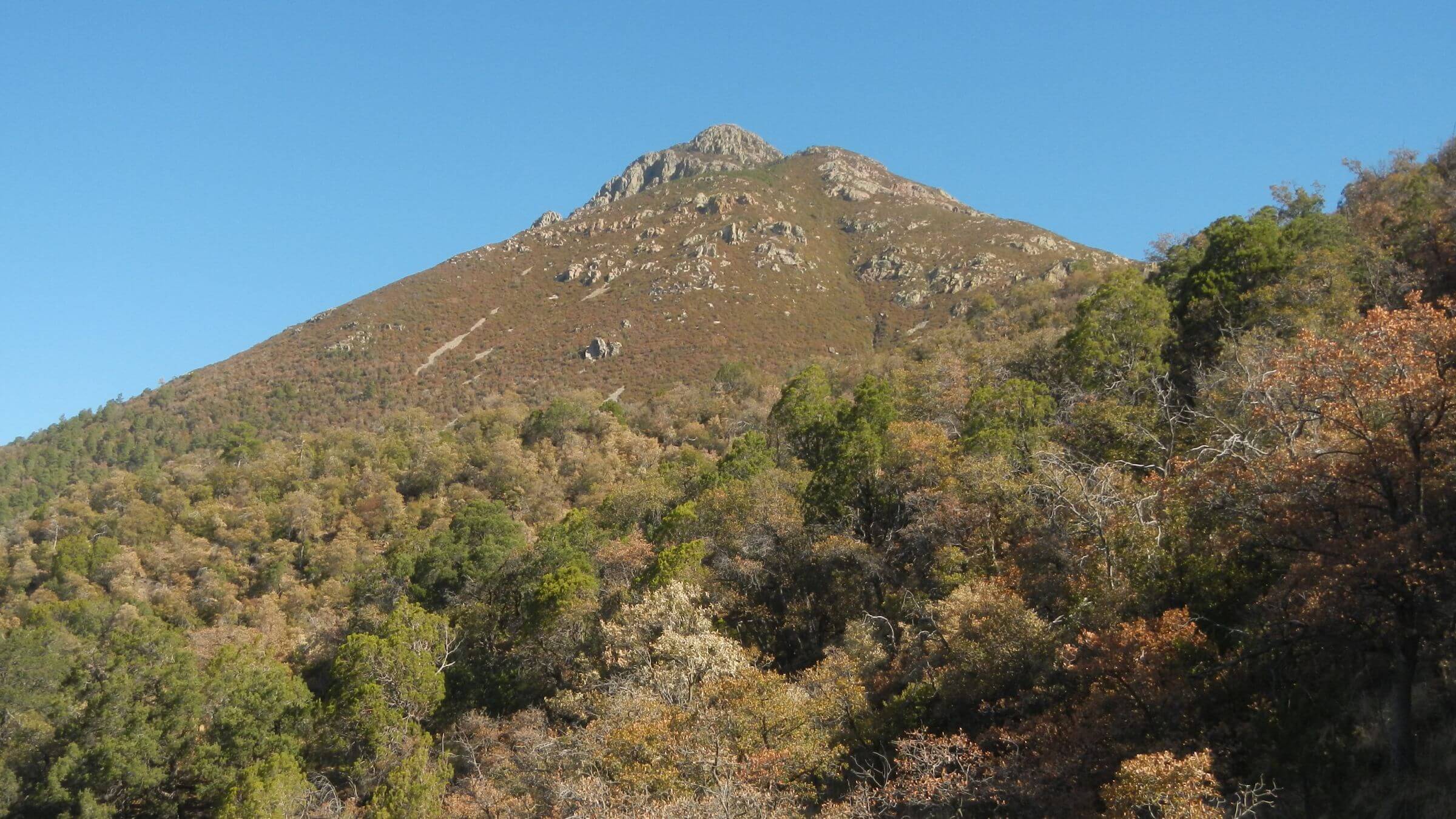
Mount Wrightson Wilderness covers 25,000 acres in the Santa Rita Mountains. Geographically, the wilderness looks like a “spider” centered around 9,500-foot Mount Wrightson that rises 7,000 feet above valley floor and is quite visible throughout southern Arizona. The “spider” shape excluded valleys and a ridge for an observatory, summer homes, and cattle grazing. Website for more information.
Human history dates back about 2000 years ago with Hohokam culture, descendants of today’s O’odham cultures—Ahimel (river) and Tohono (desert). The late 1600s marked arrival of first missionary with cattle; sheep and miners arrived in mid-1800s. Popular Madera Canyon—a northwest “spider” exclusion—is a Spanish name meaning lumber or wood, thus completing modern suite of resource extraction from area.
This wilderness was setting for our first backpack together in 1974. It was a plan B for Cindy who missed a ride to a long-weekend college-group Mazatzal Wilderness hike; she then took David up on casual offer of shorter trip he offered her at the weekly hiking club meeting.
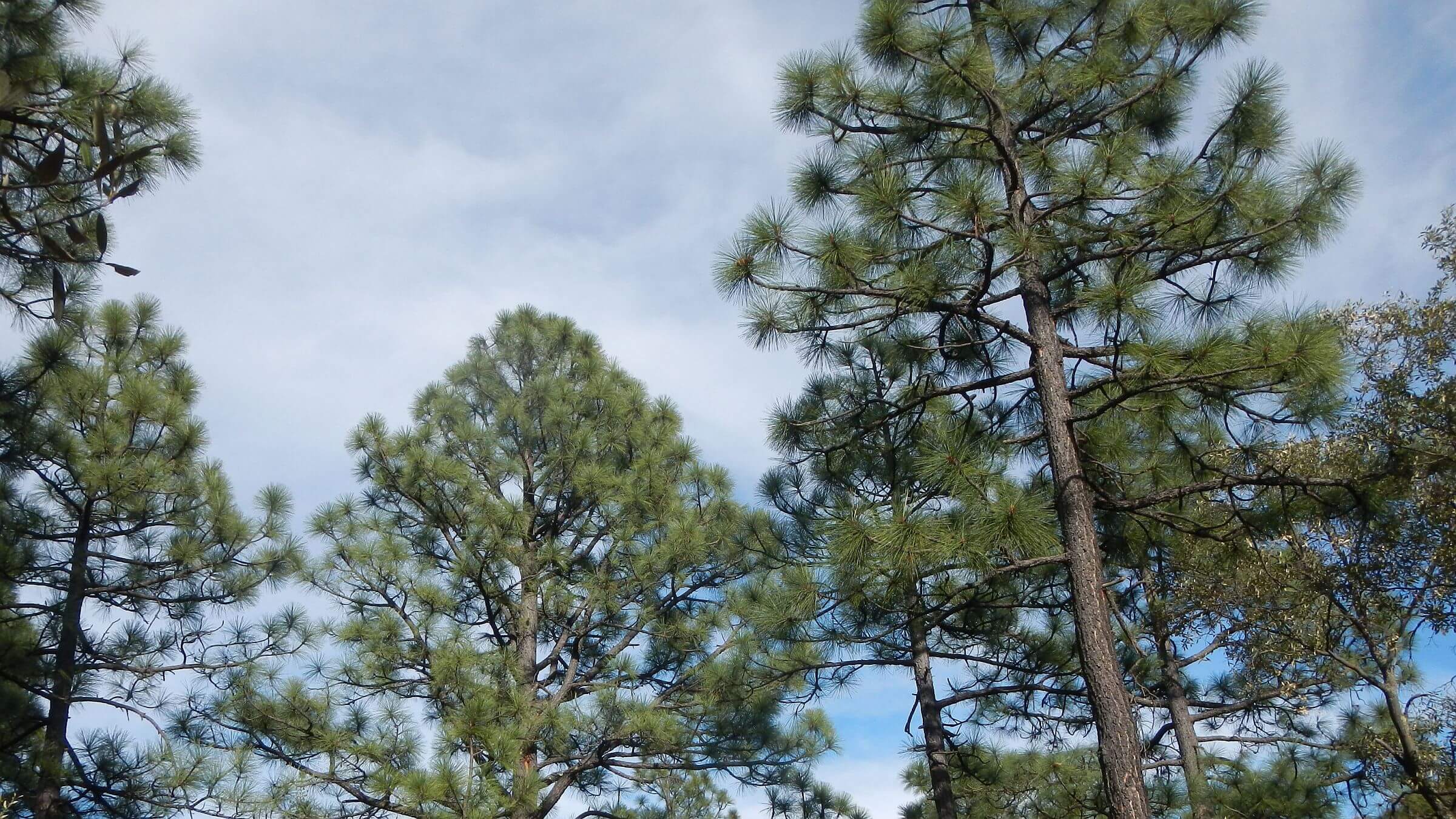
Fire has greatly changed much of this wilderness forest from what we remember. In 2005 the 23,000-acre Florida Fire burned most of it. Only Temporal Gulch and Madera Canyon areas of this trip avoided burn scar. However, trails have been restored fairly well, and trees rapidly reestablishing—considerable growth observed between 2018 and 2025.
Visitor use is heavy for day hiking especially to peak but not for backpacking. Only Arizona Trail (AZT) on eastern side of wilderness draws overnight hikers.
Model wilderness for management after mega fire—simply restore/maintain trails and let the land naturally recover. Every passing decade will bring new restoration surprises.
This narrative covers 3 recent post-fire visits, alludes to earlier ones, includes our data on water, and offers camping in solitude. We have hiked most of this wilderness except a few short trail sections.
Visit statistics (for 3 trips combined): 10 days, 100 miles, at 1.8 mph, and 575 feet per mile of average elevation change.
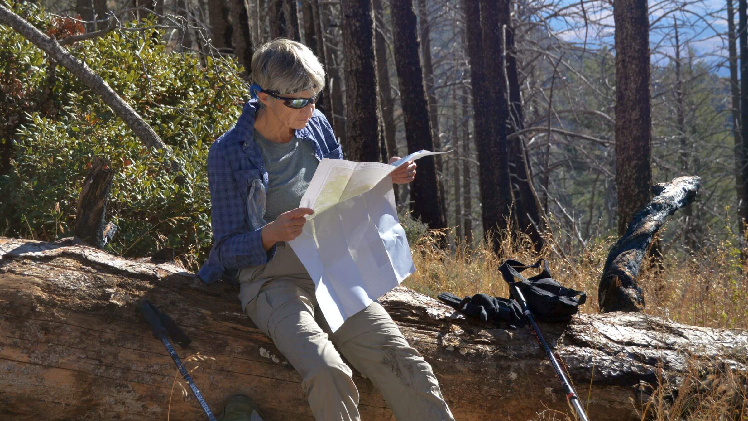
Go to map below for more information on trailheads, GPS routes, mileages, elevation changes, and photos. (Click on white box in upper right corner to expand map and show legend with NAVIGATION INSTRUCTIONS.)
show more
2025 Steep start: dry springs & quiet camps
Several cars in Florida Canyon trailhead parking but most were “birders” we passed in a few minutes. We stopped to fill up at pools in upper creek and were passed by a young couple day-hiking. I caught up to them on switchbacks past Florida spring, but when trail entered basin and steepened, they slowly pulled away.I waited 15 minutes for David at Florida Saddle, worried. As I crisscrossed up treeless side slope, I could not spot his bright yellow t-shirt in thick pine forest below. David, once famous for hiking uphill faster, had some minor breathing problems and no longer caught me on steep climbs. He appeared just as I had decided to go down and look for him! He went on up ridge looking for a possible camp for our last night on the return end and met the day hikers taking a break. He also agreed with me: no decent campsite on badly burned ridge.
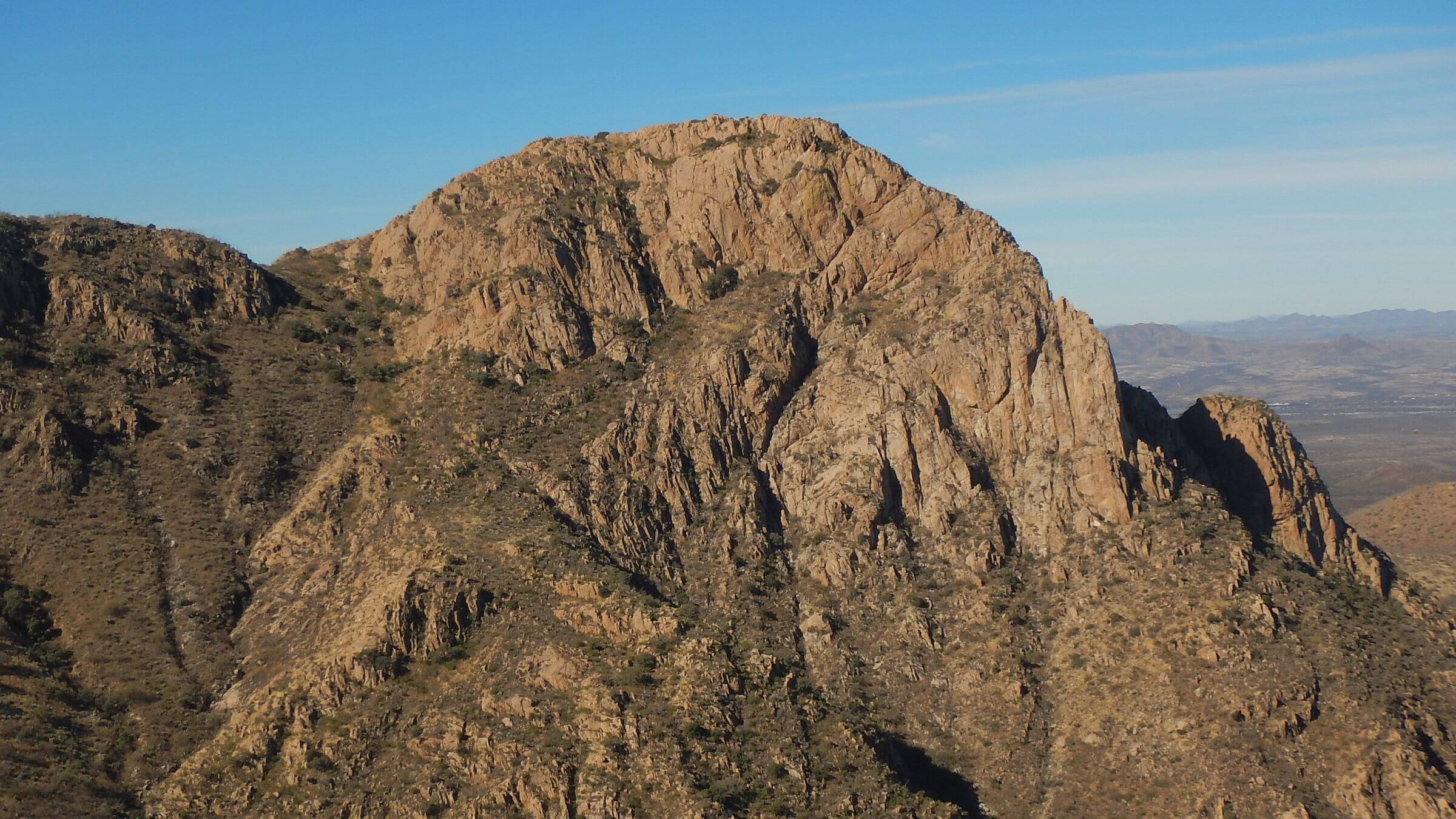
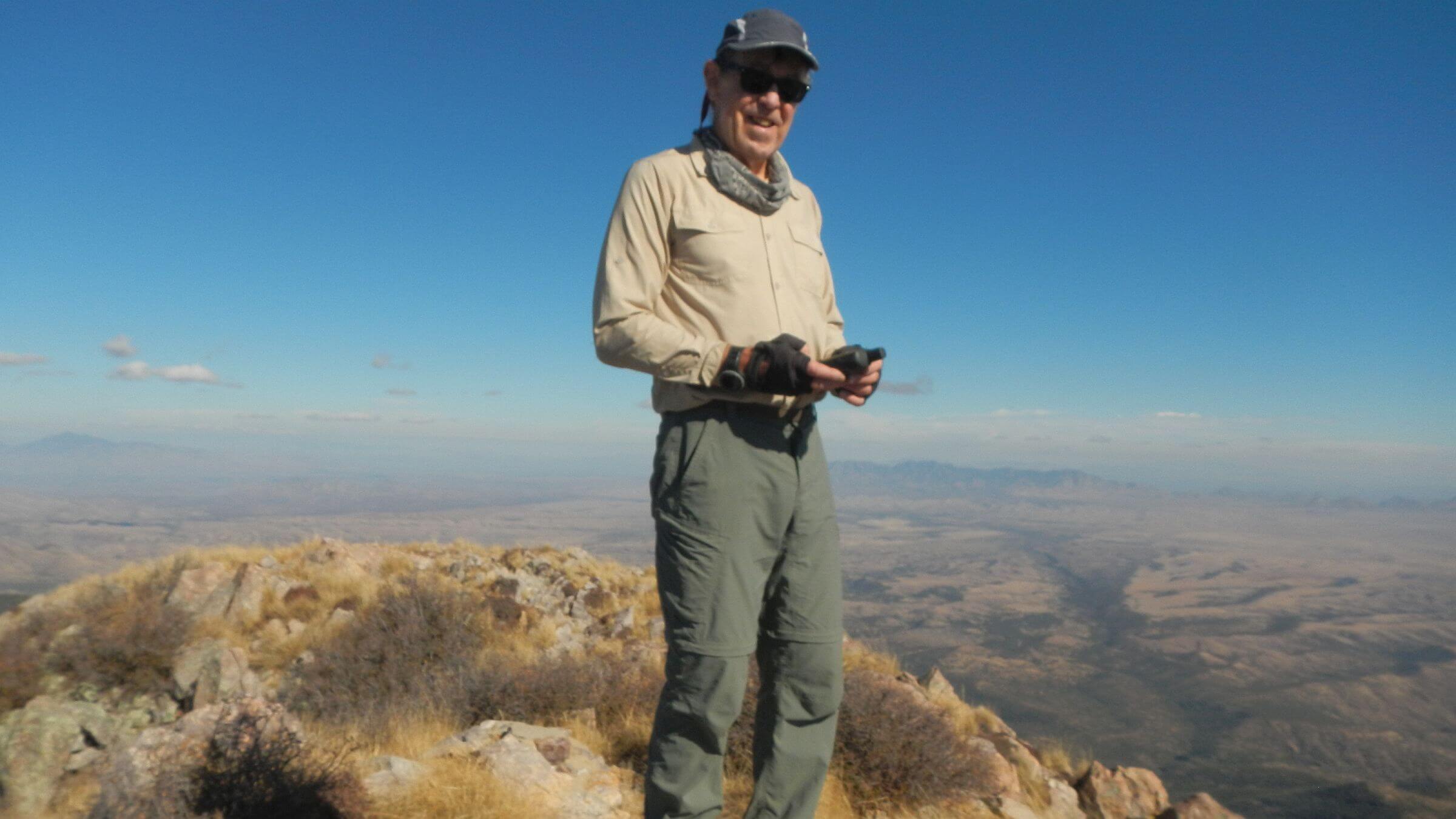
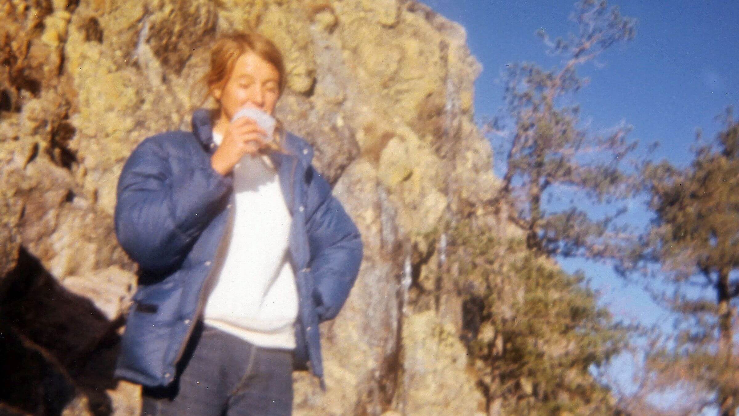
Undulating Crest Trail dipped and crawled up along the ridge offering skiff of north slope snow for “snow cones.” Mount Wrightson loomed ahead—a volcano that geologists estimate erupted about 174 million years ago. Baldy Saddle—former mixed conifer forest reduced to a few big logs—was cold and windy. We dropped packs for long switchbacks up Wrightson, meeting three friendly guys descending. David asked about Bellows Spring (possible camp water) which they had not noticed; they offered us a little drinking water.
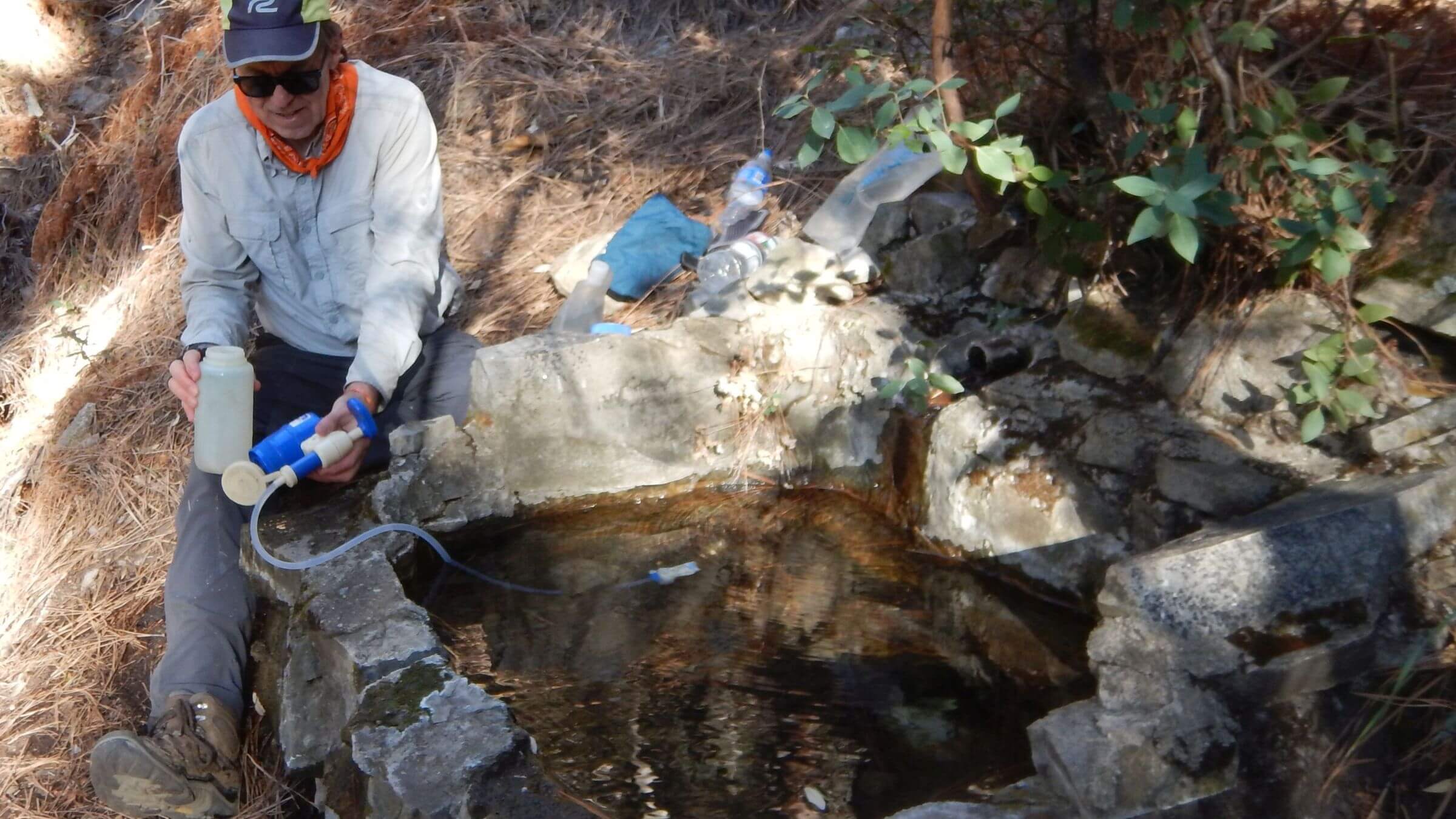
Baldy Spring on Super Trail was dry, so a mile before Josephine Saddle (where we camped in 2018) David used GPS to locate McBeth Spring to drop off trail straight down 500 ft (40% grade) to Temporal Gulch Trail near spring—which had lovely water to filter just like in 2018.
At main saddle where five trails meet, I buried some uncovered poop (ick) and took short trek to Sprung Spring; dry tank. In 2018 this spring was running all the way down the mountain! On my way back to the saddle I heard David’s shrill whistle—he had stopped at our previous camp a short way above the junction and thought I was lost.
As I swung on my pack the next morning to head out, I noticed a trail jogger just passing on the Super Trail—she had already covered 3.7 miles from Madera Canyon at 7:22 a.m.! The only person I saw that day; the hordes who hike to Wrightson do not venture down Temporal Gulch.
They should. The lovely contour trail was recently cleared by the Forest Service. In 2018 we had tough time with brush but now it was wide path through pine and then oak forest. I explored slope above McBeth Spring in slightly burned mixed conifer as David pumped water. I found black tarp and water bottles—signs of old migrant camp.
Surprising pools in lower Temporal Creek. At trail junction with Temporal Canyon Road from Patagonia, a humanitarian group had stashed gallon water jugs and clothing. I wondered where immigrants would have come from—perhaps over Huachuca Mountains more or less following Arizona Trail (AZT). They may use trails to avoid border patrol—in half a dozen backpacking trips near the border we’ve never seen agents on foot, but many All-Terrain Vehicle (ATV) trails.
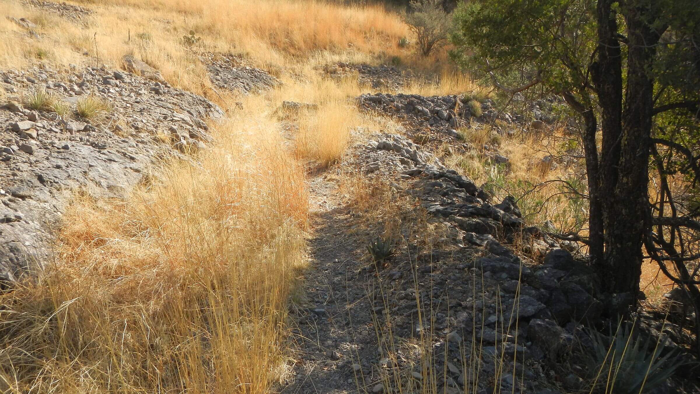
Steep eroded road in Temporal Canyon and Walker Basin as awful as we recalled—we doubt vehicles use it now. AZT once came this way but was rerouted lower on the mountain.
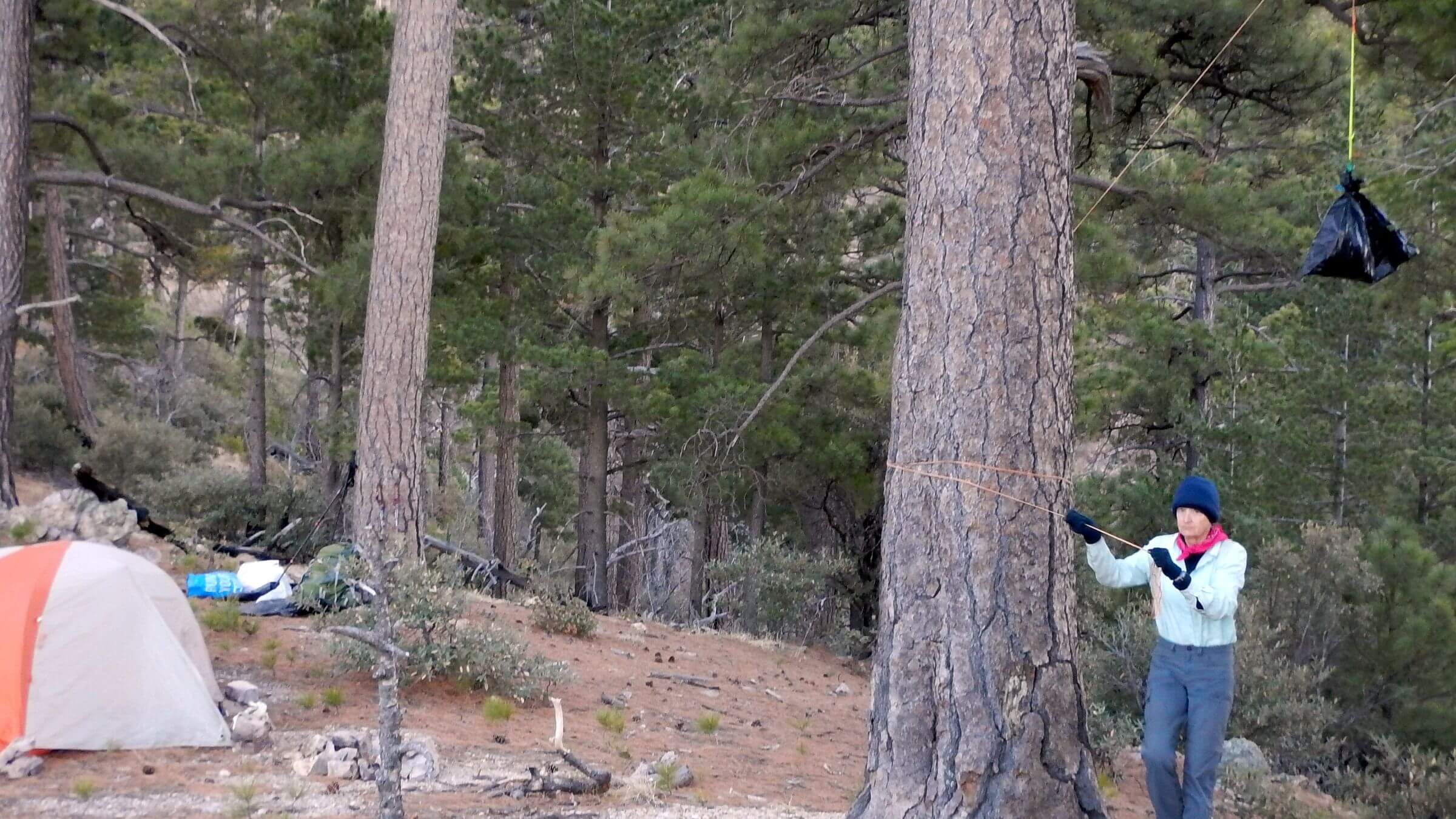
We saw no cows and less cow crap—maybe moved out? Long climb to ridge and descent into Bear Creek rewarded with nice camp in oak by creek in tall summer grass that had not greened up in dry winter. Spring box dry but pools in creek above camp.
Shooters, hikers, bikers & cows
A gentle day hiking through history, meeting people, and a brief brush with danger. We hiked part of 9-mile ditch built in early 1990s to rob water from Bear and Gardner canyons for hydraulic gold mining operation at Kentucky Camp: using high pressure water to blast gold out of nearby cliff face. Venture failed but left nice route previously used by AZT, and a tunnel through rock with full tanks of water on either side. We met a jogger on the ditch trail making a loop. (AZT follows another ditch section after Gardner Road).After hiking down Gardner Road to new AZT crossing, we soon heard gunshots ahead. David started yelling and shots stopped. Where trail went along dry Gardner Creek there was a target in alcove below and three guys with rifles looking sheepish. Shooting resumed after we passed. We told a group and a section hiker to yell to stop the shooting. The section hiker was scared and angry. She had to pass the shooters on her way to a ride in Patagonia.
The group—several young people with dogs—soon turned back and passed us when we took a break under a mesquite tree. “We heard the shots and didn’t want to deal with it,” one said.
We followed them to their van in a big parking lot full of cars—Apache Springs, on Gardner Road, apparently a favorite launch for AZT day hikes. Large group of hikers hanging out near a camper, perhaps back from an excursion. Other hikers coming and going.
Next was historic Kentucky Camp restored by the Forest Service and a volunteer group. On way we saw mountain bike tracks and had to dodge two flying down path from the camp. Three cyclists had parked loaded bikes and were roaming the grounds and small museum. One told me they were doing gravel road trip starting in Tucson and heading for Sonoita tonight.
David wanted to fill up with water and make dinner, using picnic table in back. I was sort of shy to cook around people but when cyclists wheeled up the road I got started. High wind drove me to cook on floor of deck behind cabin. We then continued on AZT climbing a pass and dropping into a canyon on a road; we camped in an oak nook. Next morning, AZT left road, and we continued on past radio towers to Menendez Pass Trail. Only vehicle was an ATV loaded with exuberant hounds that passed us, then returned in an hour. Maybe scouting for bears?
We took thin steep trail over pass and down to Aliso Spring which we had passed on our 2018 trek. Nasty Sawmill Road I recalled from that trip scrabbled up and down steep hills until we turned on upper Gardner Road, passed heavily used “dispersed” camp in giant oaks on sandy Cave Creek, and turned on Cave Creek Road—our route out. Cows, calves, and cow poop on roadside. We took side road to fill up at Sweetwater Tank fed by hose from a spring, hiking by curious calves and greeted by a friendly ranch dog. The cowboy had camped further up drainage.
Two vehicles at the trailhead. Very nice trail immediately split with Link Trail heading along a drainage. Did not show on map and I found little information but perhaps it “links” to Gardner Trail which joins Super Trail below Wrightson, offering a nice day hiker loop. We found beautiful camp in oaks with creek pools above and below. A day hiker couple passed.
Steep finale
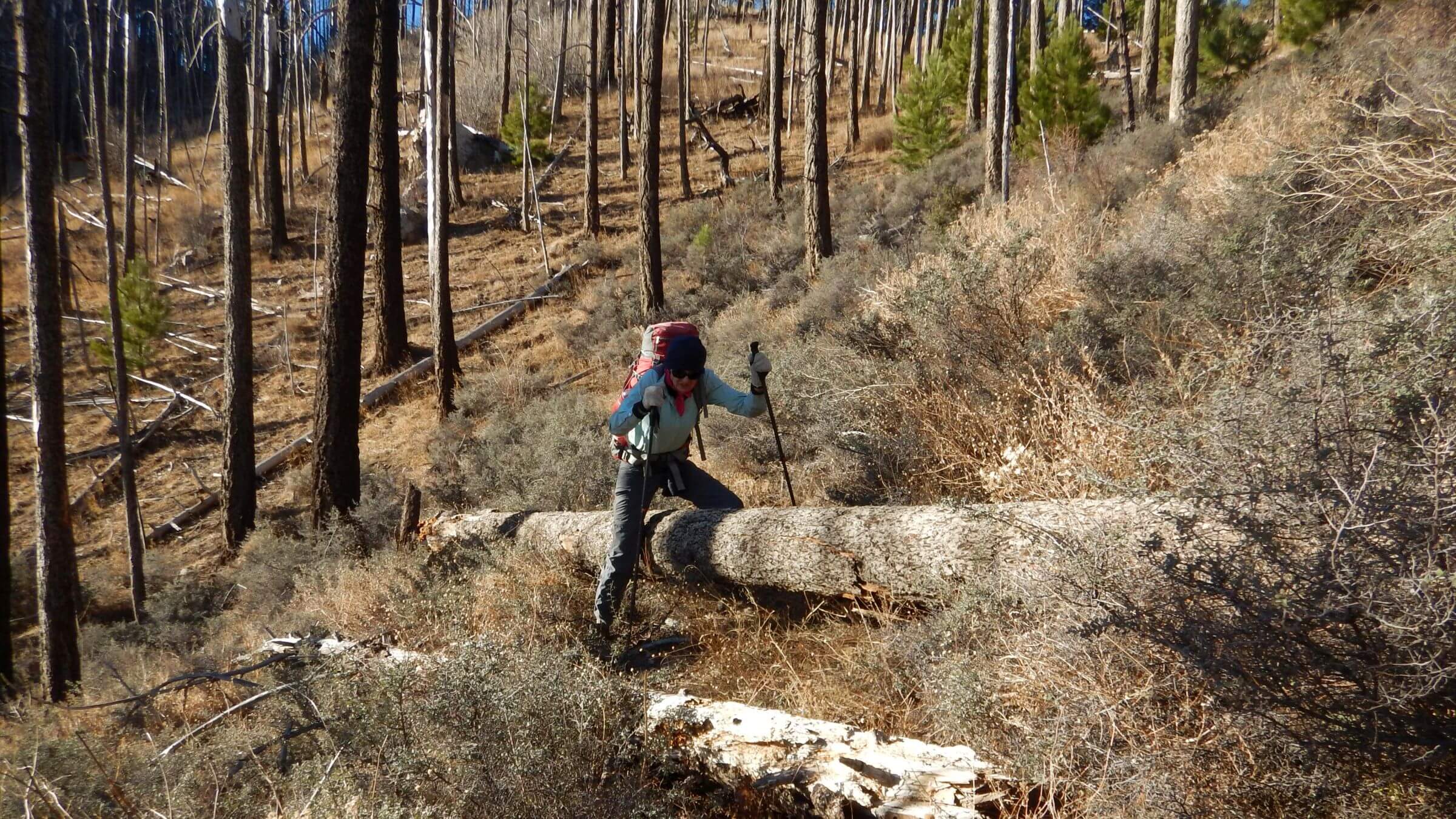
Trail above camp switch backed steeply and our pace slowed; just over 2 hours for the 2.3 miles (at 775 feet/mile elevation change) to Florida Saddle. Basin trail better downhill but I grumbled on washed out rocky stretch just before Florida Spring. David pried open the heavy spring lid on the spring box; clear beautiful water. Pipe along trail starts just below Florida Saddle so it must be from a spring high in the basin we crossed. David wonders if the spring and pipe on down the trail provides some water for the Santa Rita Experimental Range Headquarters a 100-year old research station operated by UA on other side of dry Florida Creek at trailhead.Our hike down not much better than our ascent—3.25 hours to the bottom. David noted that upper Cave Creek switchbacks are 775 feet elevation change per mile and Florida Canyon Trail 800 feet/mile—very steep!
2023 day hike: looping beyond Elephant Head
In March 2023 we visited popular Elephant Head on west side of wilderness—or rather, David did. Route to this prominent rock outcrop drops off Quantrell Trail, an old mine road, crosses steep canyon and proceeds up the ridge. I did the route but chickened out on last steep pitch, where David met other day hikers ahead of us.Back on road we continued to old Quantrell Mine. I noticed radio towers on peak above us and suggested we extend the hike. We worked up a drainage, running well with many pools, skirting vegetation then heading straight up a ridge to the towers. We switch backed down tower road to junction with Agua Caliente Trailhead (western access to Mount Wrightson) where a few vehicles were parked, then followed road to Quantrell Trailhead, making a nice 9.6-mile loop instead of the six mile out-and-back trek to Elephants Head.
David submitted our GPS tracks (shown in map below) and some photos to AllTrails, for which they created a new “Elephant Head Loop,” but edited our 9.6-mi loop to low-resolution 8.4 mi route and added photos from others that seemed for only an out-and-back, not the loop. AllTrails requires paid account to download the “highly edited” version of our GPS track, but you can download our original for free under “DOWNLOADS,” bottom left.
2022 Birthday Hike: Dark start & finish
We did a November 28 out-and-back day hike to Mount Wrightson from Florida Canyon to mark David’s 71st birthday, starting in pre-dawn dark and finishing after sunset. I expected to get back in the daylight and did not bring my headlamp—a definite mistake! (Same route as Day1 of 2025 visit, so not included in this post’s map or statistics.)We bounded up steep Florida Canyon Trail like we had in our youth; steep climbs and drops on the Crest Trail were a bit tiring although we enjoyed gentle grade to the peak. On return trek, we realized the 17-mile round trip was going to outlast the daylight.
We did last two miles into Florida by headlamp—only David had one, so it was awkward “sharing” on the rugged rocky path down the creek. We got to our vehicle at dark, drove gravel road back to Green Valley and found the only restaurant still open near the freeway for a late dinner.
2018 Wrightson Backside: Water, Woods & Views
Our January 2018 visit missed out on the one mile hike up Mount Wrightson.We started at Gardner Canyon on east side, followed Arizona Trail (AZT) south, swung up Temporal Gulch to saddle on flank of Wrightson, dropped into Madera Canyon, climbed around north side of the peak, and dropped down Sawmill Canyon trail/road for a four-day, 46-mile trip.
Water was our first surprise. With Arizona in a dry cycle and one small storm since September, we had filled two Platypus (folding plastic) water bags and other bottles for two-gallon capacity in case of dry camp. But every spring was running except for frozen ones on north slopes.
We enjoyed stunning views hiking an old ditch (see history above) from mining days; across the canyon towered golden green limestone pillars. After crossing the Bear Spring rivulet in oak woods, trail raced up to a ridge with views of soaring Mt. Wrightson and Josephine Peak.
Awful road from Walker Basin was steep and slippery from ATVs on dry soil. Copious cow pies on roadside and in Temporal Gulch indicated unmanaged grazing. Lower gulch was gold and red rock. We took rough Temporal Gulch Trail half mile upstream, climbed side canyon to piney ridge, and kicked away a few dozen cow pies for camp. Nice sunset, rowdy morning wind.
Narrows Temporal route became needle carpet trail through pine, leaving gulch and contouring slopes of Mt. Wrightson rounding many side canyons. This well-designed old trail had not been cleared in years; hand clippers helped. We filtered water at lovely McBeth Spring in a ponderosa nook and rounded on to Josephine Saddle.
Old Baldy and Super Trail from Madera Canyon and westbound Auga Caliente Trail all intersect here. Mount Baldy was renamed Wrightson for miner killed by Apaches in 1865. Old Baldy Trail, built in 1928, climbs 4,345 feet in 5.4 miles. Forest Service added 8.1-mile Super Trail in 1960s. We would camp at saddle, hike west and descend to Madera on Vault Mine Trail.
Since it was only 4 p.m. I thought we should climb Mount Wrightson. Unburned west slope Old Badly Trail was a pleasant surprise but steep and slow; we gained moonscape Baldy Saddle just before sundown; gale winds and encroaching darkness discouraged an ascent. I thought “boring” Super Trail would be faster going but it was my next surprise! It began as snowy north slope trampled into ice by hikers. Burned by Florida Fire, it was treeless, rocky, barren on top and brushy below. Wind blew cruelly. Sunset colors and lights of Patagonia offered visual relief.
We rejoined our packs four miles and two hours later. After dinner, David passed by, tripped on my foot, caught, and broke the stove cable. Last hot meal of the trip.
Madera crowds
Voices at 7 a.m.: first day hikers. We heard/met two more pairs as we turned off on Agua Caliente Trail to round Jack Mountain. We passed route to Mt. Hopkins (site of Fred Whipple Observatory), got to Agua Caliente saddle, and turned back. I wanted to hike further into west end of wilderness, but we were out of time. Instead, we dropped down steep but wooded Vault Mine Trail into upper Madera Canyon. Nice pools in canyon. We met a young family then hordes at the Madera Canyon trailhead, even on a weekday! About 40 vehicles, maybe 70 percent out-of-state. Seniors and young families. October-April use is mix of tourists and snowbird retirees from Green Valley according to Nogales Ranger District.We hiked down road and David got water from Madera Creek. A turnoff towards Kent Springs Cabin (for rent) restored solitude. Good road to modest cabin, then steep ‘spring road’ carrying pipe from top. We crossed stream produced by spring near the Super Trail above us, and the brimming Sylvester Spring box. Kent Springs box on shady north slope was frozen, but David found water in the creek bed.
Road ended and trail from Bog Springs headed up the mountain. We met lightly clad day hiker up from Bog with her dog, ready to loop back down the steep road in cold canyon. We hiked up to a ponderosa grove on edge of Florida Fire wasteland. A few survivor pines roared in gusty ridge winds above our tent. Fiery red sunset outlined lights of the Mt. Hopkins observatory and golden glow of Green Valley. We dined on Cliff bars.
Hiking through burn scar
Next morning, decent trail after circumventing large, downed logs. It contoured through grassy slopes and remnant pines in chilly morning shade to a sunny saddle. Cold descent through burned basin to frozen Armor Spring. We rejoined Crest Trail, with new downed logs, icy stretches, and no trail work since the fire. (A trail crew was scheduled to work on it in March 2018 so it may be improved now).From Florida Saddle, Sawmill Trail climbed a peak then dropped down into more burn. Gentle broad switchbacks were cloaked in post-fire sharp needle gray thorn and new growth pine.
The last drop to Sawmill Spring was better trail but steep and tough on knees. David filled up at the spring box. We climbed onto a sunny ridge for a cold breakfast of uncooked oats, coffee, and chocolate. Not bad with dry peanut butter, blueberries, and nuts. The trail on down was good.
We met two exuberant day-hikers from Tucson with two small dogs. After a lovely amble down pine and oak in Sawmill Canyon, our trail left the drainage and wandered down a dry hillside to Aliso Spring in shady forest.
The day hikers had each driven a jeep from Tucson. Their vehicles passed us, clawing up the steep grade out of Aliso drainage. Unlike them, I found no joy in the rocky roller coaster track.
We finally crossed Cave Creek Road and reached an oak-forested flat where our vehicle awaited. Only 10-mile day but my knees attested to elevation change: 1,250 feet up and 3,950 feet down or 525 feet average elevation change per mile.
Wrightson recovery
Florida Fire of 2005 changed the trails and drastically altered old-growth forests we remembered around Mount Wrightson. But the forest is regrowing nicely; managers of heavily burned wilderness need only keep up the trails and let the ecosystem take care of the rest.
show less
Google Map
(Click upper-right box above map to “view larger map” and see legend including NAVIGATION INSTRUCTIONS; expand/contract legend by clicking right arrow down/up.)