 2020: Campaign Creek running silty below previous summer fire (Day1)
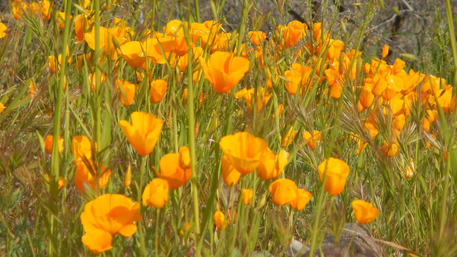 2020: California poppy (Day3)
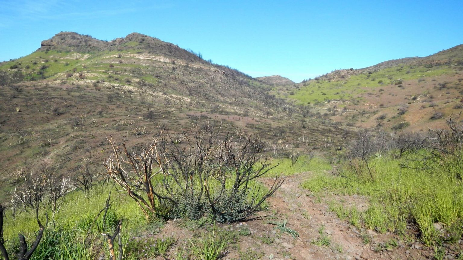 2020: Woodbury Fire recovery (Day4)
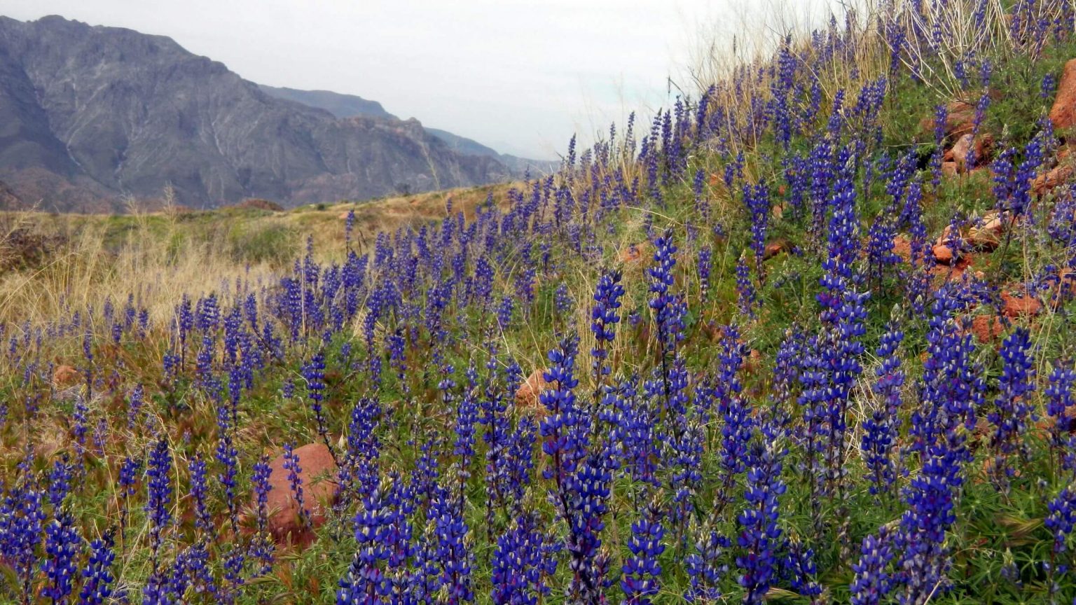 2020: Lupine species (Day7)
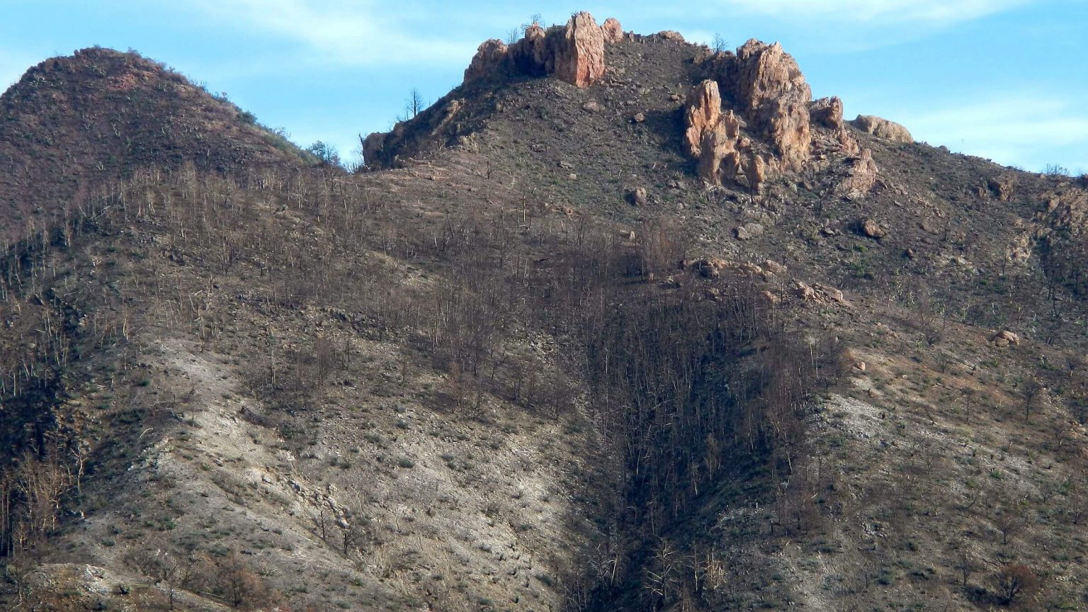 2019: West Fork Pinto Creek after previous summer’s fire (Day3)
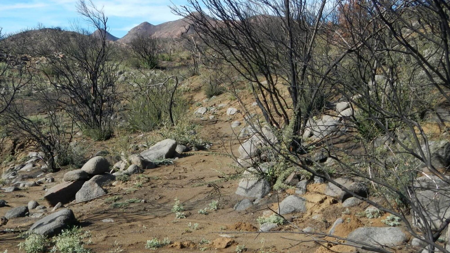 2019: Campaign Trail 5 months after Woodbury Fire (Day3)
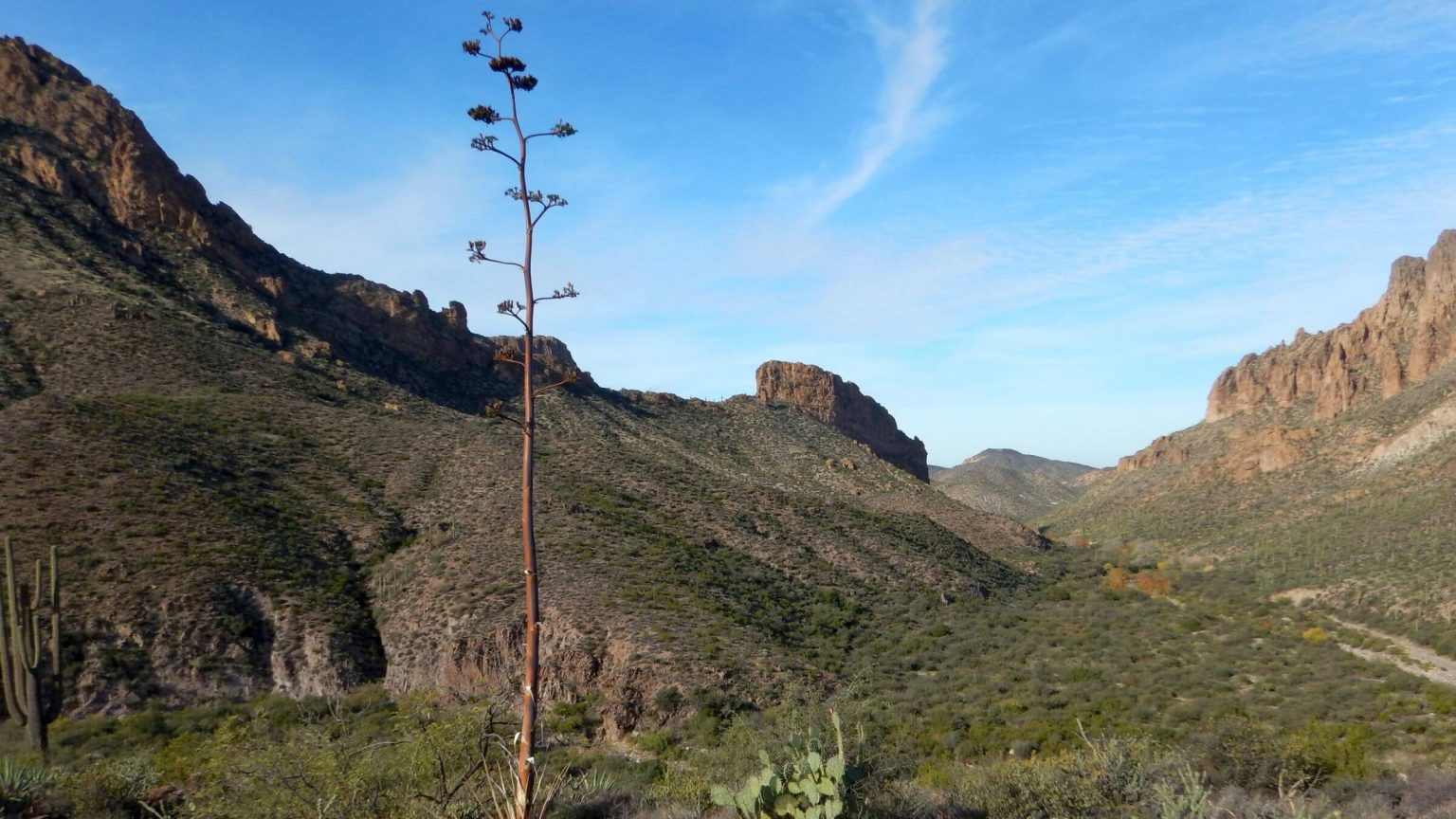 2016: La Barge Canyon view from Peter’s Trail (Day3)
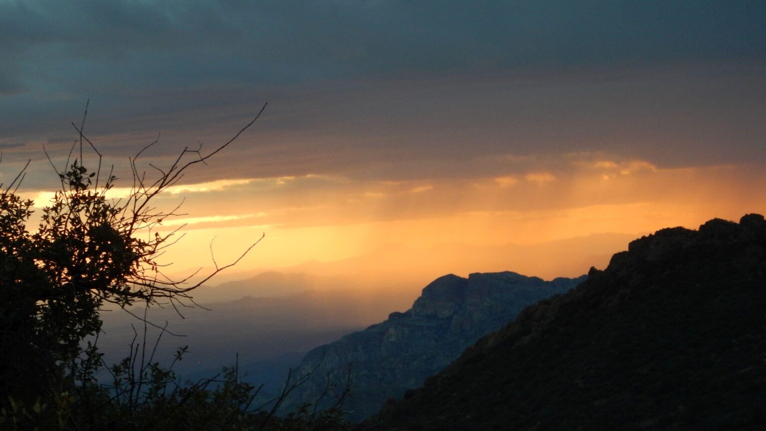 2016: Evening storm, Rogers Spring (Day6)
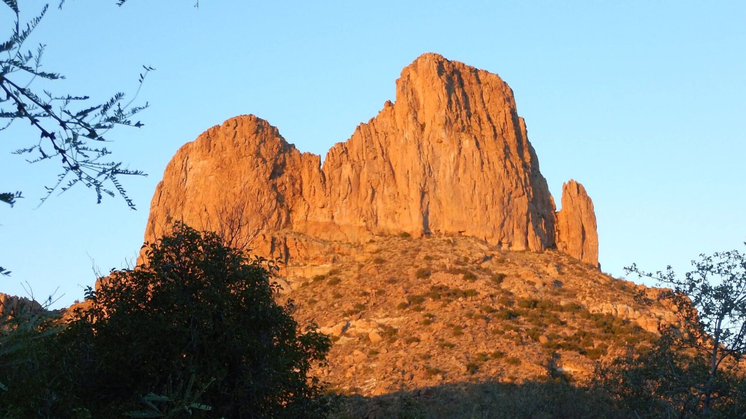 2016: Weavers Needle in morning sunlight (Day9)
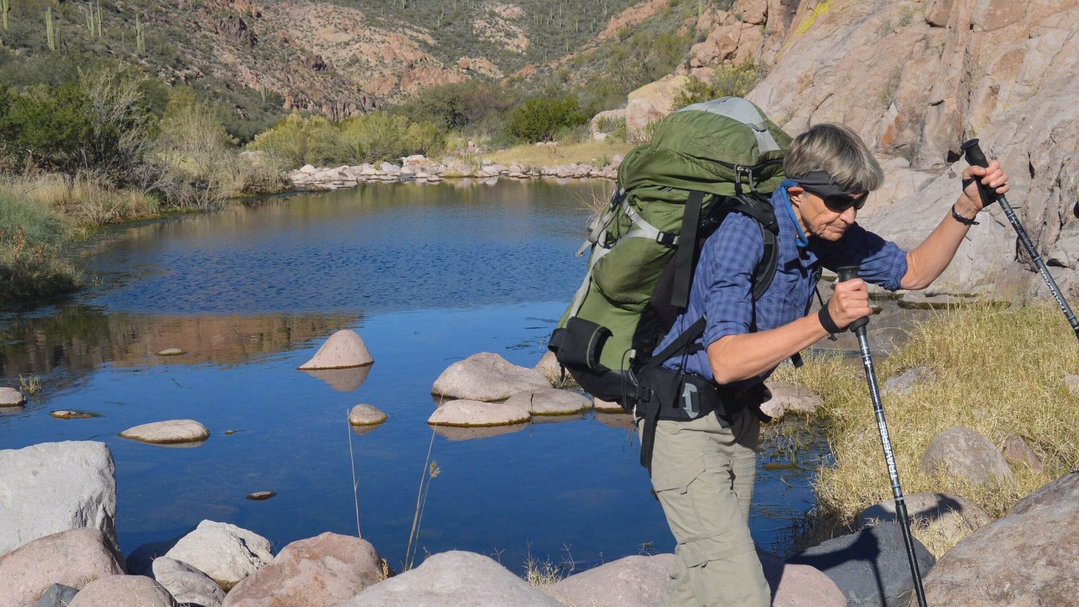 2013: La Barge Creek flowing well in December
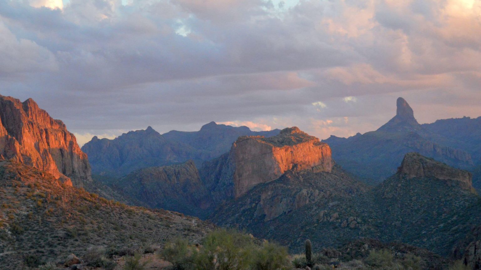 2013: Weavers Needle from Canyon Lake Trailhead
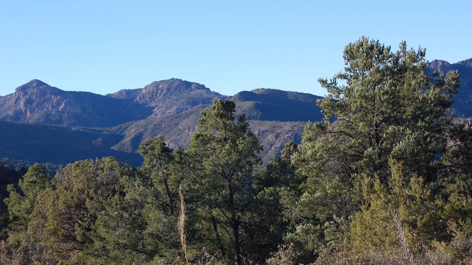 2009: Eastside wilderness from Reavis Ranch Trail
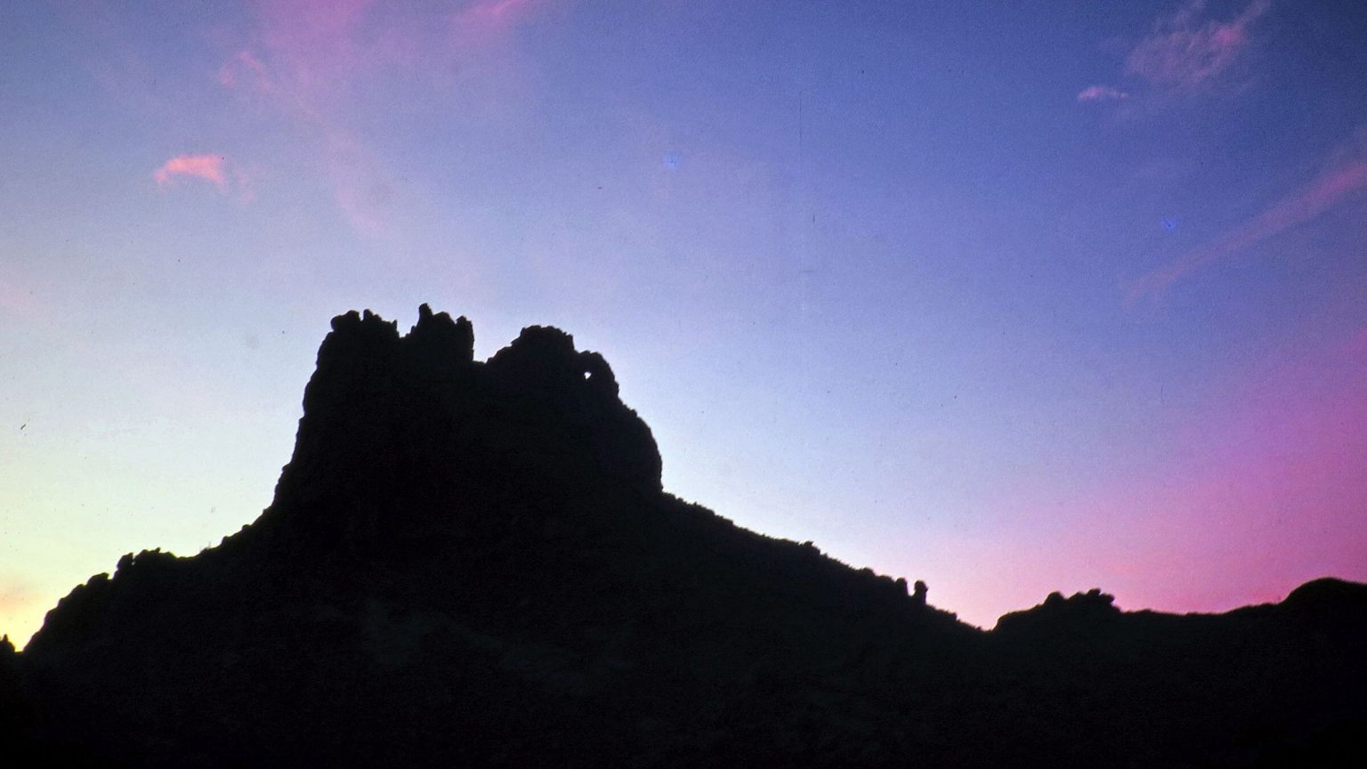 1979: Miners Needle
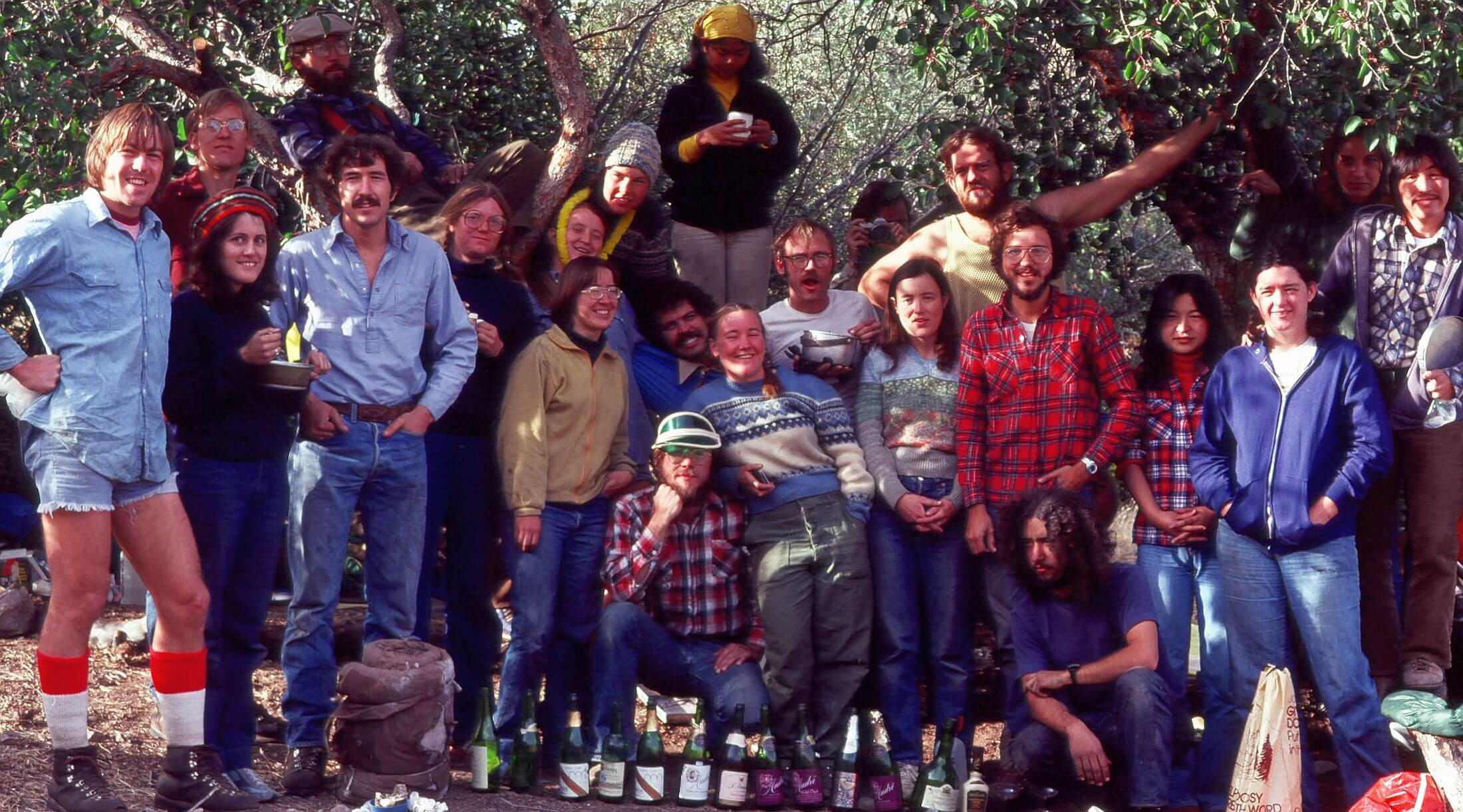 1979: UA Ramblers; David on left in red socks, Cindy in back being “choked” with yellow lei.
Drought, Fire & Floods In Famed Desert Mountains
Nano warned me to stay out of the Superstition Mountains.
As we traveled along Highway 60 toward Miami, she pointed out the red-walled mountains along our route. Having lived 50 years in this small Arizona mining burg, my grandmother was well-informed on local legends.
“They say 100 men have died there,” Nano intoned. “Some were killed by renegade Indians or poisoned by alkaline springs. Some just disappeared and never returned.”
I could hardly wait to visit.
Now 50 years and multiple visits later, I realized I could be the next victim of the Superstitions. We had just committed the ultimate desert hiking blunder: arriving at camp short of water, assuming a spring would be running.
In a very dry winter 2016, we arrived late afternoon at Angel Basin, a favored campsite on many blogs/websites four miles down Rogers Canyon from the Rogers Trough Trailhead and about 30 miles into our loop trip through the Superstition Wilderness.
Using GPS, David led us on a brushy hike up Angel Canyon to locate the spring. Dry! I ranged up Rogers Canyon half a mile in the dimming light of a December evening while David went downstream. Many campsites but not a single pool. We met at our dropped packs. We agreed to dry camp and head down canyon the next morning in hopes that one of the springs shown on map had water. Between us, we had about 1.5 liters.
Water—usually too much—has set the tone for many of our 14 backpacking trips in the arid desert Superstition Wilderness; most occurred in December in the winter rain season.
Our first visit in 1978 was part of a Christmas trip to the Southwest to see my family and escape the Oregon rain—or so we thought.
We hiked sandy washes below rock pinnacles under bluebird skies and warm sun; enjoyed trails designed for stock that wound over passes; passed Garden Valley, Music Mountain, La Barge Box, and Red Tanks; and saw just one group. The only negatives were spaghetti cow trails in Boulder Canyon and cow pies near Charlebois Spring.
Then winter rain hit. We fled rising water in La Barge Wash over Peter’s Mesa, skirted a raging torrent in Tortilla Wash, and hiked a jeep road and State Route 88 back to our vehicle.
In December 1992 (in the Superstitions after another family visit), we awoke in Boulder Canyon with sleeping bags bloated from water seeping in the tent floor. We hiked out in driving rain past side canyon waterfalls and dried out bags at a laundromat.
No water in December was just not on my radar.
Superstition Wilderness is a winter favorite that we have visited 14 times for backpack trips since 1978; large wilderness includes about 180 miles of trail. It’s best visited in winter or early spring and can be very dry, although most of our trips have been wet. Many were in December; before the year 2000, this month was almost always rainy. March is the latest spring month we have visited—and wet that year!
This post covers three backpacking visits and a brief day trip. The narrative is chronological: 2016 westside trip (our only encounter with dry conditions), brief jog on popular Peralta Trail in 2017 (which ended badly for Cindy—see narrative) and eastside “recon” trips in December 2019 and March 2020 after 124,000-acre Woodbury Fire. However, map which follows starts with latest visit (following our usual style of most recent first).
Summer 2019 fire offered most dramatic changes observed over 40 years. Although the black had washed off, eroded trails and muddy high-water creeks were issues of post-fire trips. Large fire may be indirect result of climate change and vegetation shifts from past grazing as far back as 1875. Over our tenure, cattle numbers gradually diminished but vegetation increased.
December 2016 westside visit covered territory from our many previous hikes and went from dry to cold wet conditions after a big storm moved in near end of trip.
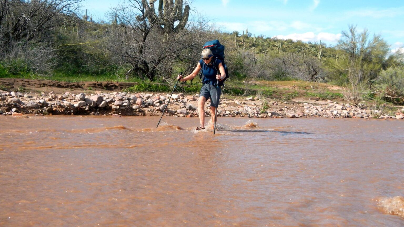
December 2019 eastside visit (after Woodbury Fire) was mostly in unburned area from Haunted Canyon except for day hike up West Pinto Creek—wide, muddy, and unusable for drinking—and Campaign Creek Trail contouring up a ridge from Oak Flat, which was mildly eroded with resprouting acacia encroaching.
March 2020 eastside visit was partial loop from Tule Trailhead, taking a wash to Campaign Creek and up via Reavis Gap (Campaign Creek high water nixed plan to hike entire creek trail), followed by an overnight out-and-back on Reavis Trail to the Reavis Falls route and return on Arizona and Tule trails. A second attempt to visit the falls from Reavis Trailhead was thwarted by road closure and trail damage; we got to Reavis Creek but did not see the falls!
Post-fire backpacking presents new challenges. Damaged trails, high waters, and poor information on road closures impeded our eastside visit during unprecedented high flow. It was even harder to gather information since many offices were closed due to COVID-19 restrictions at the time. The many hiking guides and posts written on this area should be updated with post-fire info to be useful.
Visit statistics for three recent trips: 20 days, 176 miles at 1.9 miles per hour, with 425 feet average elevation change per mile.
Go to map below for more detailed trip information on trailheads, daily routes, mileages, elevation changes, and photos. (Click on white box in upper-right corner to expand map and show legend with NAVIGATION INSTRUCTIONS.)
show more
Revisits observed changes, not drought
The Superstitions range from 2000 to 5600 feet elevation, too hot for summer visits.Luckily, our trips were usually in December as part of family visits over Christmas break. Starting in the late 1970s, we visited at least every decade, and observed many changes. At first, very few visitors except an infrequent group doing a long trip. In the 1980s, vandalism threatened vehicles parked at remote trailheads; after seeing a car with smashed windows at a trailhead we had planned to use, we began parking at Canyon Lake Marina on north side that allows backpackers to leave vehicles within its gates, locked at night!
Cattle were eventually removed, but thorny desert scrub encroached lesser-used areas, maybe because of reduced grazing after heavy use. In the late 1990s, we would see many day hikers and signs of over-use from weekend backpackers from Peralta and First Water trailheads near Mesa. Stock (horse) overuse reduced some trails into rocky rubble; campers, not cattle, trashed areas near springs. Tonto National Forest had difficulty maintaining trails in the 1990s and early 2000s, but vigorous Adopt-a-Trail and volunteer programs plus work on Arizona Trail (which crosses the wilderness) have recently improved trails.
After 2000, we lived on the East Coast and weren’t aware of climate change impacts in the West. Despite drought in Arizona, our two visits—facilitated by air travel from Washington, D.C. and rental cars in Phoenix—happened after unusual fall rains.
In 2008, family and friends dropped us off at Tortilla Ranch and we hiked as far as Rogers Canyon—where we turned back because of thigh deep water.
In 2013, a dry year in the Southwest changed with heavy rains and snow in November. On our Superstition visit, we found deep pools in Red Tanks, usually dry, above La Barge Canyon.
2016: Dry Night In Angel Basin
We had planned a loop trip from Boulder Canyon, accompanied partway by my cousin Mike, former Phoenix resident and avid hiker. We found area a bit dryer than usual but still camped by water the first two nights and found pools for our third night. Interestingly, Mike warned about dry conditions. Mike had planned a shorter trip and left us at Tortilla Trail to hike out to his vehicle. We ascended Tortilla Pass, passing up a spring on our way, wanting to reach Angel Basin before dark. The last time we visited Rogers Canyon, it was flooded!This year it was bone dry. After our vain search, we set up the tent, we each ate a power bar, took a swig of water, and went to bed. Next morning, we got up at daylight, breakfasting on power bars and sips of water. Map showed five springs en route to Reavis Ranch. Reavis Creek usually was running but we were not sure of anything.
David kept dropping off trail into the wash, looking for potholes. He found one which we drained to pump a half liter of water.
Two miles down canyon, David spotted a pool or mirage from the trail; after brief trek back up wash from trail crossing, we found a beautiful deep-water hole appropriately named “Hole Spring.” Our brush with mortality was over! I enjoyed hot breakfast and bath.
All other springs were dry on climb to Reavis Saddle—Frog Tank, Cimarron, Plow Saddle, Willow—although we did not look for pools. We found pools on Reavis Creek and camped among large juniper, live oak, sycamore, and maybe Arizona cypress.
That night a storm moved in.
A little rain changed everything. We broke camp in rain, hiked along Reavis Valley in rain gear with periodic showers, then spent a cold cloudy afternoon hiking over divide, down to Rogers Canyon junction and up to Rogers Trough Trailhead. We met weekend backpackers heading up to Reavis. We hiked up Pinto Creek Trail to Rogers Trough on a breezy sunny hillside to set up camp and dry out. Trough was dry but a cut pipe from the spring was running above it.
Clouds indicated more evening rain. David securely staked the tent and we dug trenches around it. I hiked to West Pinto Divide and hurried down as thick clouds rolled in.
The storm almost let us finish dinner before it arrived in a fury with high winds, driving rain, and thunder and lightning. Around midnight David had to don rain gear to “rescue” our backpacks, tossed around by gale. My boots, tucked under the fly, were soaked in driving rain. I wondered about the campers at Reavis, 1400 feet higher.
Rest of the trip was cold and windy, but we found every spring had ample pools; only the washes were dry. David filled up at every waterhole—just in case.
2017: Slick Rock Disaster On Popular Peralta
I never told Nano about my Superstition visits and she died in 1991 long before our first brush with disaster. The very next year, I again got into trouble in the Superstitions within two hours!We were traveling from Tucson to Phoenix by roundabout scenic way avoiding the Interstate. As we passed along the Superstitions, I suggested a lunch break jog. We rarely used popular trailheads but were near Peralta so we headed up there. The dozens of cars coming down (at noon!) indicated lots of hikers—which would be my undoing. We jogged up Peralta Trail two miles to Fremont Saddle for the view of famous Weavers Needle. On the way back down, I slowed to turn on a switchback and braced my foot against a rock. Slick and polished from thousands of boots, that rock was like black ice. I fell and broke my arm.
2019: Night visitor, fire-altered creek
Our most recent visits toured a landscape marred by the area’s first megafire. But water—unseasonal rains—may have fueled the burn and hampered post-fire hiking conditions.Started in late June 2019 by human ignition on the south wilderness boundary, Woodbury Fire burned 96,000 acres—all the wilderness except popular westside trails near Mesa. (And that area burned in Sawtooth and Superstition fires of summer 2020.)
Heavy rains in October 2018 and January-February 2019 created a bright, mostly non-native grass carpet in range country. Red brome (possibly planted for earlier cattle use) dried out in late spring and carried wildfire to the crest of the mountains, burning most of the pinyon juniper and pine. Then a late September storm brought extensive floods and washed out SR 88 between Tortilla Flat and Lake Roosevelt. (Still closed in 2024 , although Arizona Transportation Department is studying possible new road alignment.)
We briefly visited east side of Superstitions in December 2019 to “check out” burned area, driving around the ugly sprawling Pinto Mine complex to enter lovely shaded and unburned Haunted Canyon, apparently named for narrow section with dark walls.
Nano’s warnings of Superstition dangers again came close to fulfillment that night while camped up the creek in a grove of sycamore trees. I heard scrabbling on the tent right by my head. I banged on the side and the noise subsided, then started again. Something was shaking the tent wall. I roused David, who unzipped his side for a look. A fox was gnawing on the tent, trying to make its way inside!
David put on his boots and ran after the animal, yelling and waving a hiking pole. When he dashed after it, it retreated toward the woods but came back several times, making wide circles around our camp. Finally, it disappeared into the forest.
(After the trip we contacted Arizona Game & Fish officials; one thought it could have been a rabid fox and was relieved we had no contact, although another said the animal might have habituated to people and was searching for food rather than someone to bite. I later found videos of a fox invading a tent and biting the inhabitants!)
On up the canyon we visited Tony Ranch, a historic cabin heavily visited by day hikers from north end of Haunted Canyon Trail. We continued on lesser-used brushy Bull Basin Trail over pass to Rock Creek for peaceful night in the woods.
Next day we entered fire zone on sandy shallow West Pinto Creek (formerly a cool shady rocky stream). Oak Flat junction was a barren wasteland with blackened stumps and broken signs (newly installed just a couple years before!). We climbed two miles up the winding Campaign Trail—in fair shape but eroding and rapidly encroached by thorny vegetation.
2020: Wet Hiking In Burned Wilderness
Our last, longer visit to eastside Superstitions in March 2020 was nice weather but soggy hiking. We were discouraged by multiple crossings of muddy Campaign Creek.When the canyon narrowed and crossings deepened, we abandoned our plans to loop via this trail and Fire Line Trail to Reavis Ranch. Instead, we hiked up Reavis Gap Trail and caught the AZT—boggy track over a ridge and down to the ranch site. But we did not get to camp in the beautiful green pasture under the oaks—Reavis Creek was running high and fast, and we hesitated to cross it in the dark. Instead, we camped in remnant oak on mucky clay.
Next day we crossed lowered creek. I wanted to visit Reavis Falls (downstream from the ranch, reached by steep route off Reavis Trail [an old road]). With the high water it had to be stupendous. However, burned road with numerous washouts was so slow-going, we had to turn back right where the falls route took off to get back to camp before dark.
We finished our loop (down AZT and side trail back to our vehicle). But I wanted to see Reavis Falls. We agreed to hike in from beginning of Reavis Trail on the Apache Trail (SR 88)—closed by a landslide further down. We were told it was open to the Reavis turnoff. It wasn’t. We parked at road closure and followed GPS up steep wash to Reavis Trailhead, cutting off five extra road miles. But it took an hour, and road through burn and steep 3-mile route to the falls were slow going.
We got to Reavis Creek—still almost a mile short of the falls and with just enough daylight to get back to Lime Mountain where we left our packs for camp.
The creek was running high. David thinks we would not have made it up the steep narrow canyon to see the falls—unless we did a lot of wading.
Unique Wilderness Full Of Legends
Superstition Mountain lands were designated Primitive Area in 1937 and wilderness in 1964. They encompass 160,000 acres of Sonoran Desert, riparian canyons, oak-juniper woodlands, high-elevation pine, and interesting rock formations from volcanic processes.Used lightly by early cliff dwellers and Apaches, Superstitions attracted miners in the 19th and 20th centuries, then cattle ranchers selling beef to miners. Reavis Ranch had a vegetable garden and orchard. (Reavis’s gravesite is on Arizona Trail [AZT] north of Rogers Trough Trailhead.) Springs and trails bear names of other stockmen. Dutchman Trail was inspired by a German (“Dutch”) immigrant who claimed to have found gold. The “Lost Dutchman’s Mine” search has inspired many books and maps.
Nano’s warnings never kept me out of the Superstitions, but they did foster an interest in all the cowboy and miner legends that have made this area so famous.
show less
Google Map
(Click upper-right box above map to “view larger map” and see legend including NAVIGATION INSTRUCTIONS; expand/contract legend by clicking right arrow down/up.)