 2024: Window Lake (Day1)
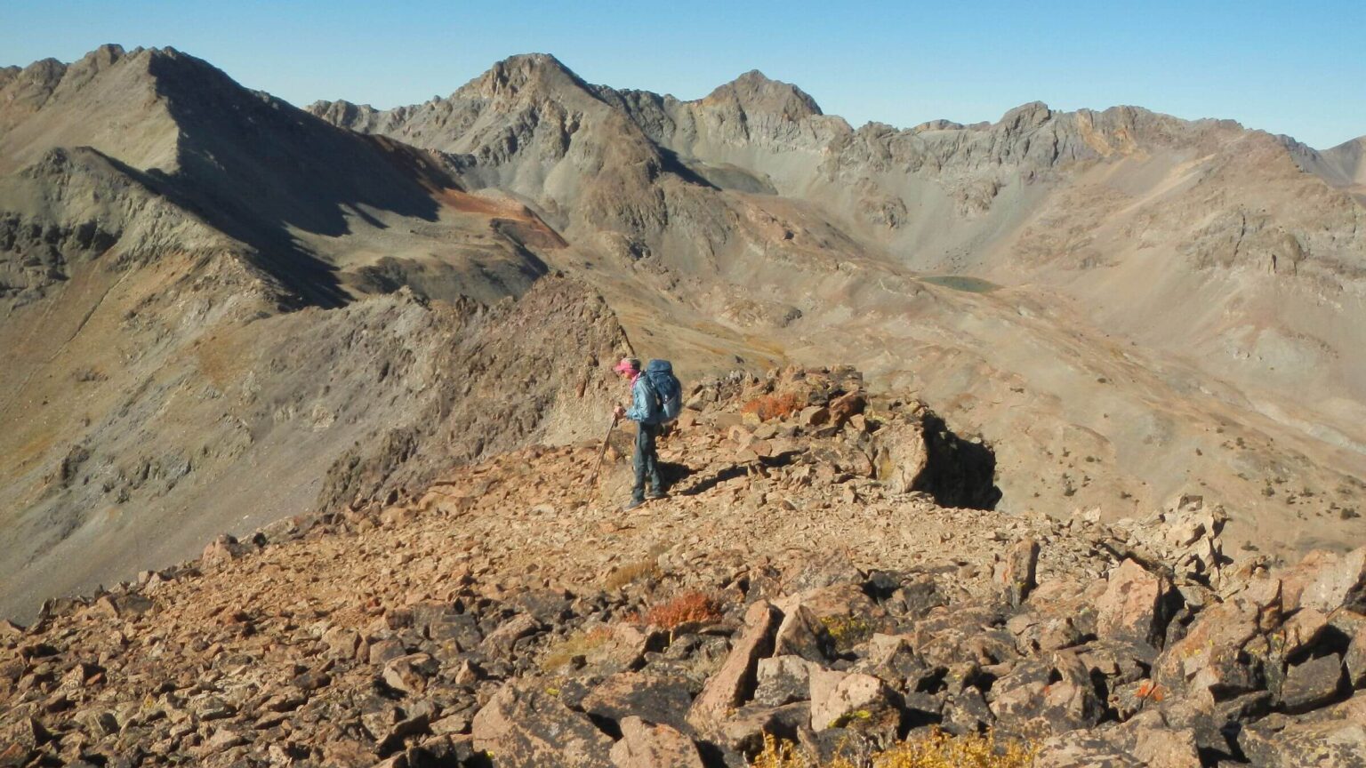 2024: Silver Peak beyond Cindy (Day2)
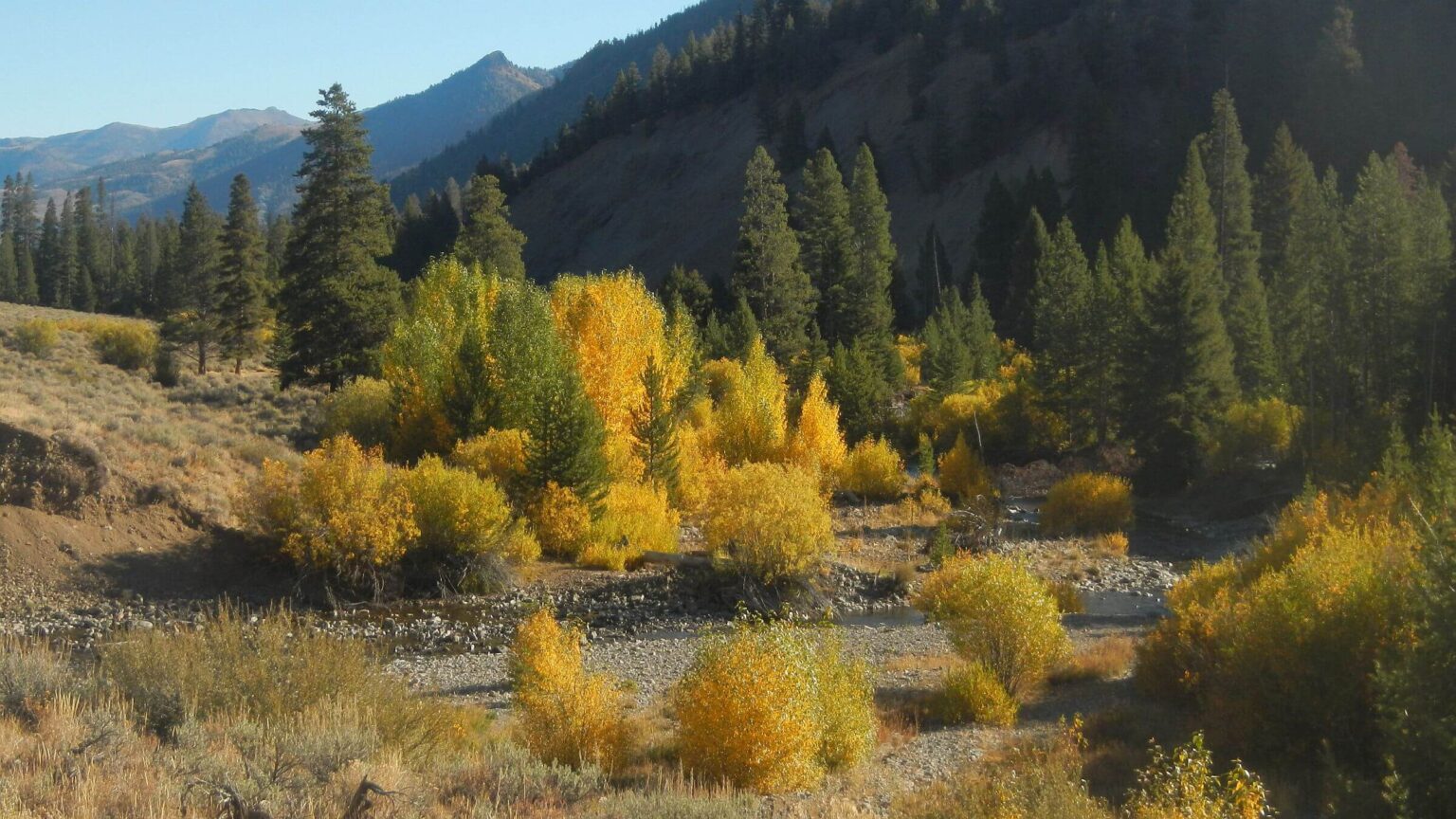 2024: East Fork Salmon River, wilderness boundary (Day3)
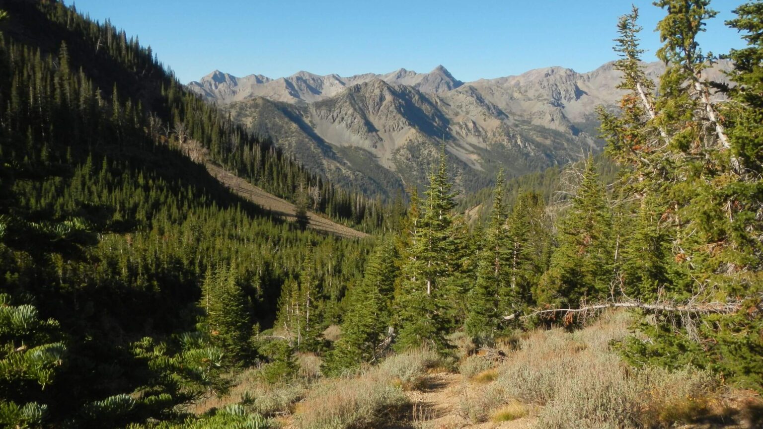 2024: Heart of wilderness, upper NFk Big Wood River (Day4)
 2023: Old-growth Douglas-fir & pinegrass/forbs (Day1)
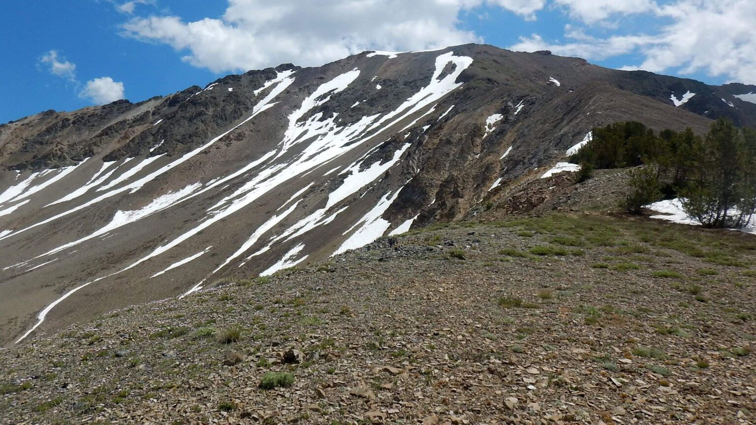 2023: Last 2 miles ridge to Galena Peak (Day1)
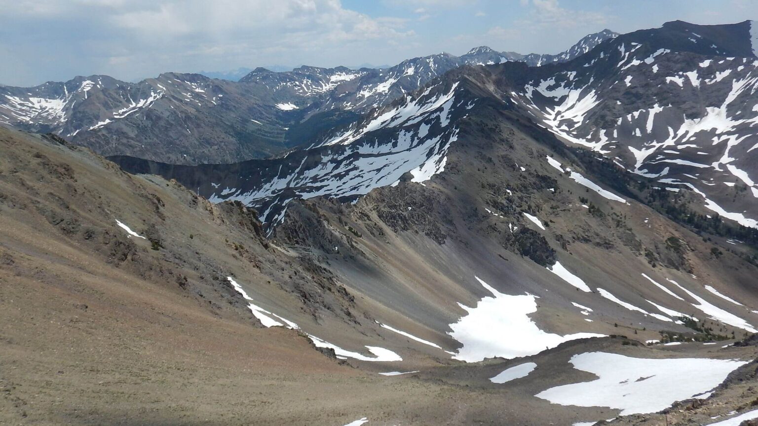 2023: View into White Clouds (north) (Day1)
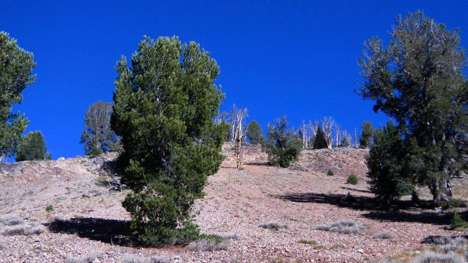 2021: Whitebark pine (Day2)
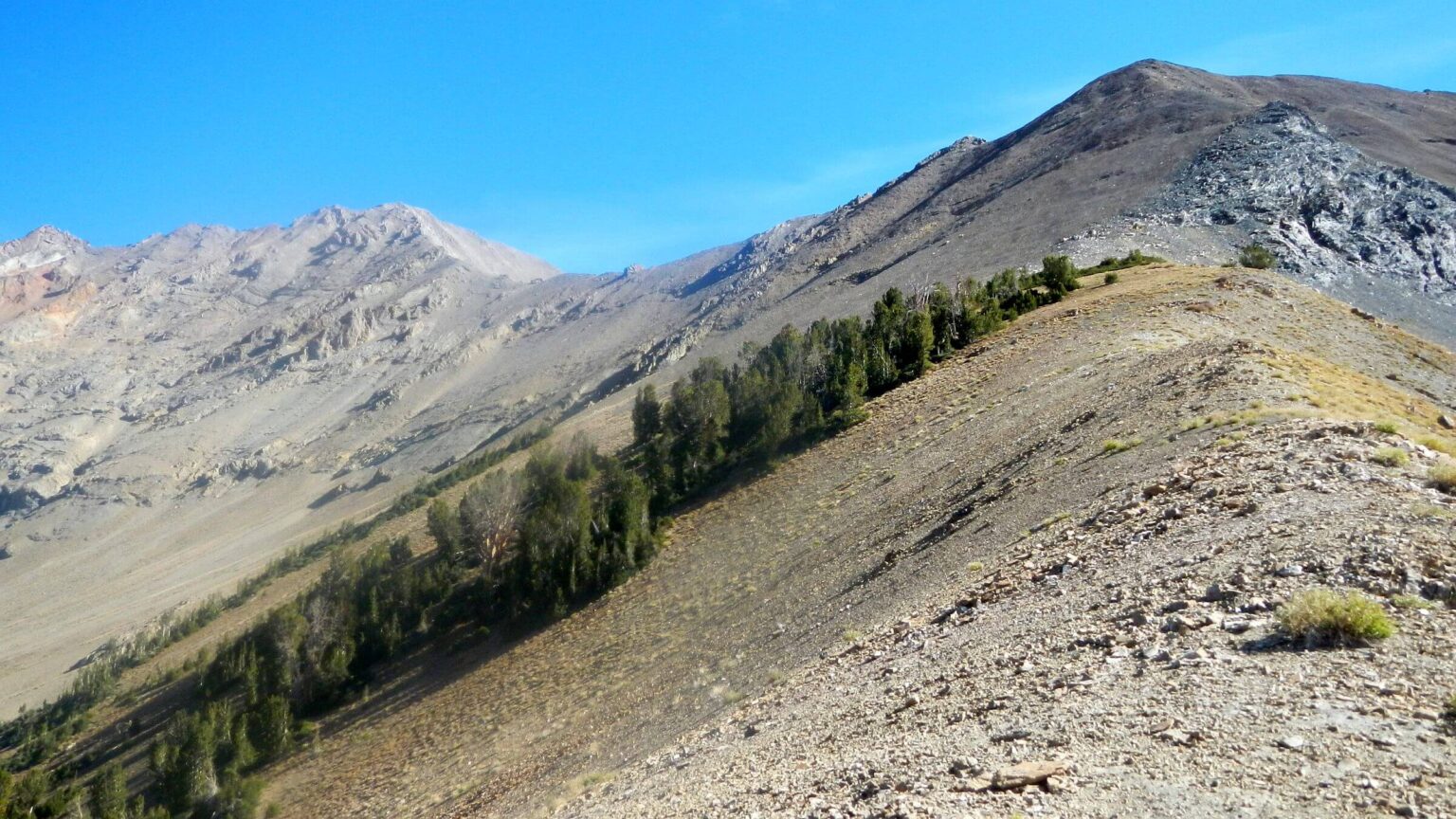 2021: Kent Peak (left) (Day3)
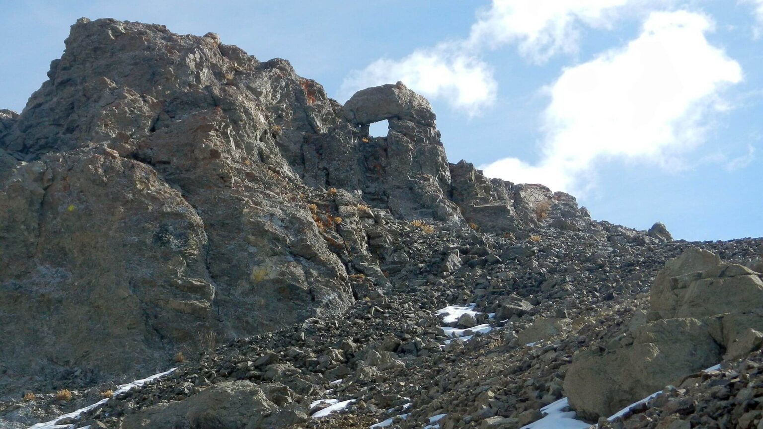 2021: Formation on pass above “Window” Lake (Day4)
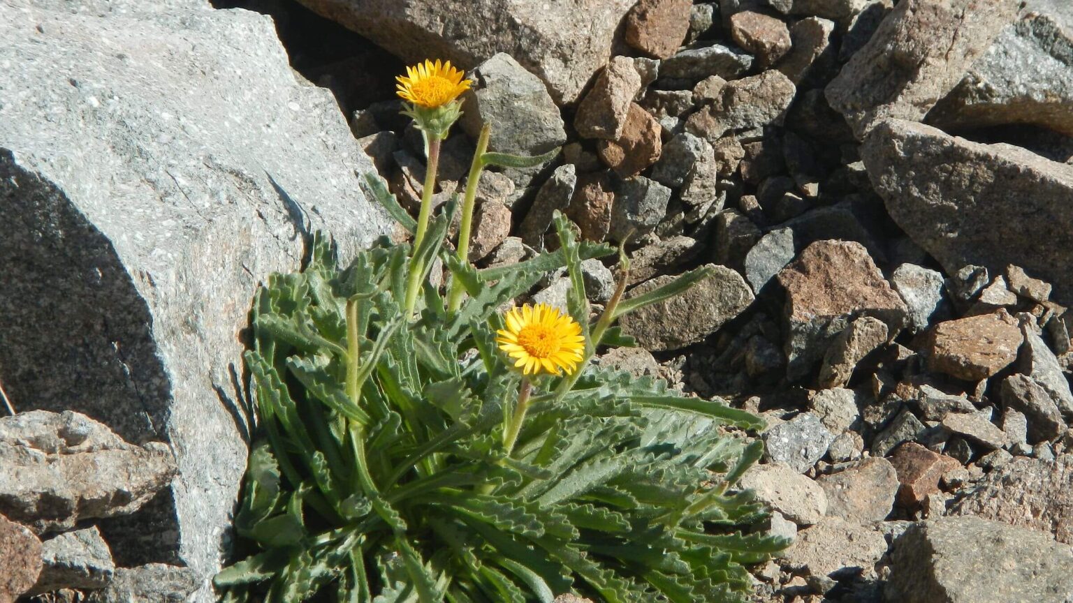 2021: Dwarf-arctic ragwort (Day4)
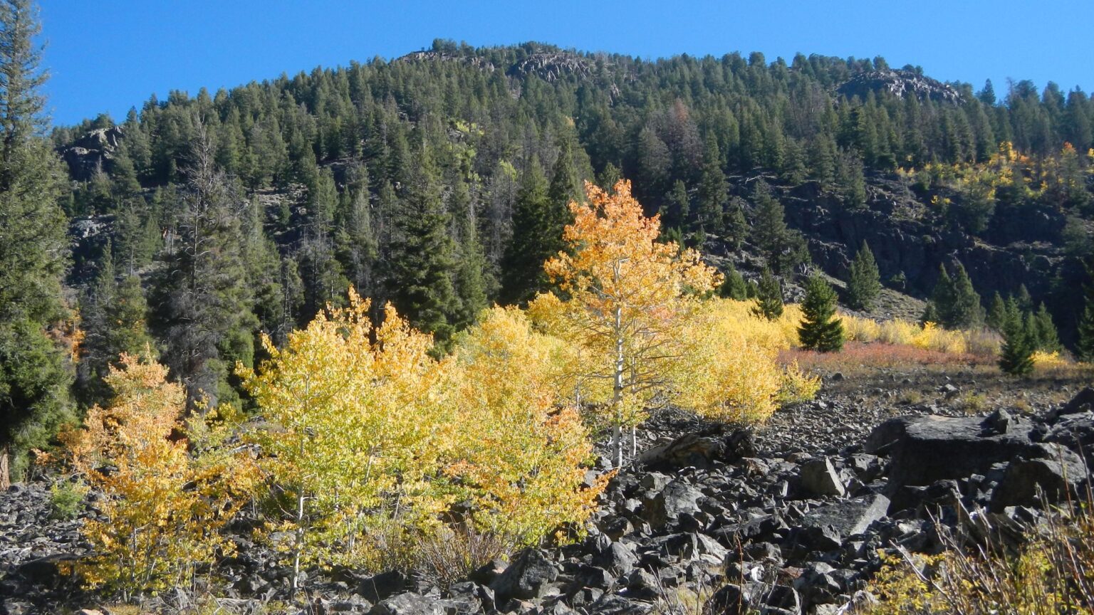 2021: Aspen lighting up forest (Day5)
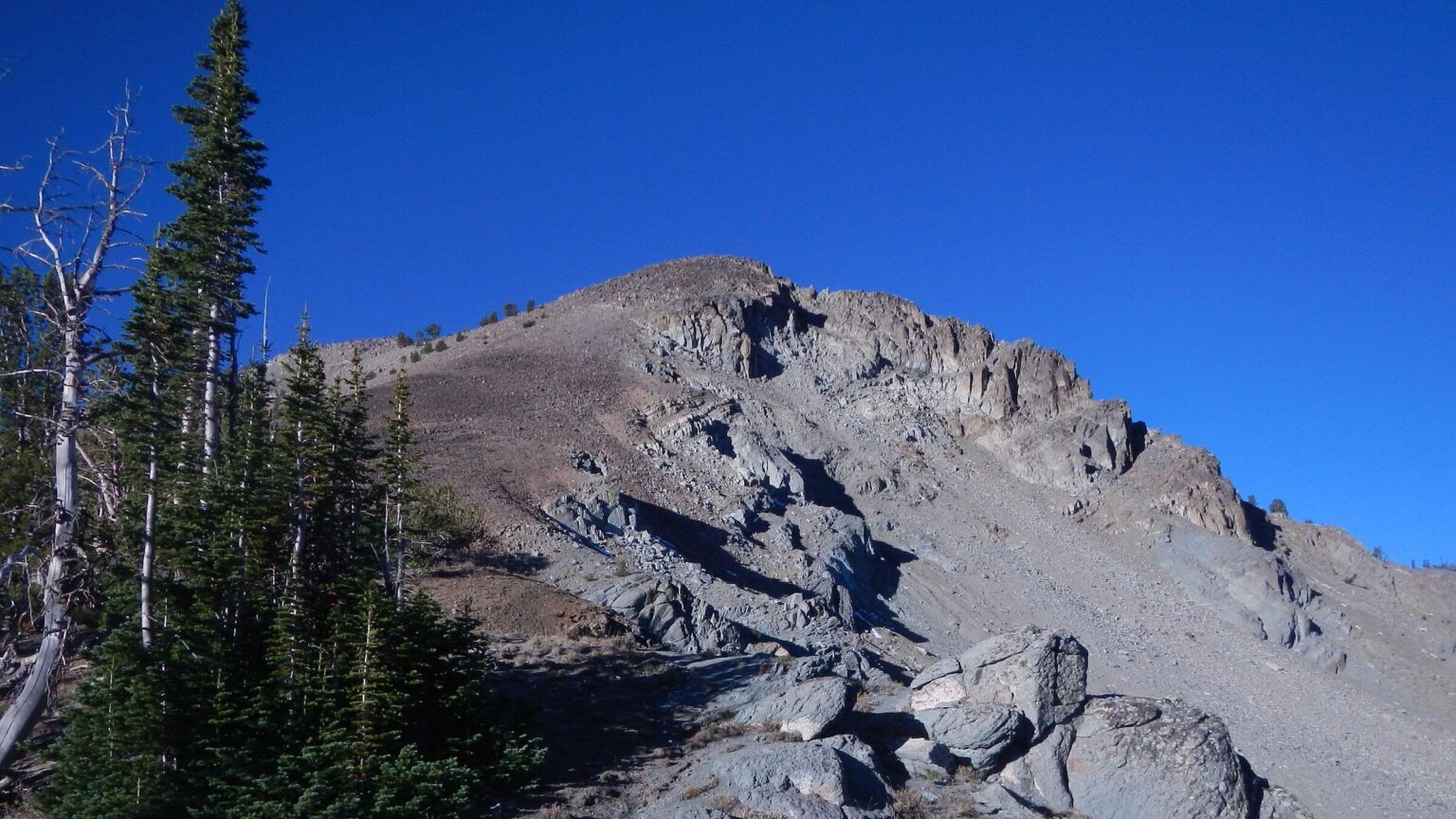 2021: Gladiator Peak, just outside wilderness (Day6)
Scary Scree Limits Boulder Adventures
The 11,000-foot Boulder Mountains are in our “backyard,” only 30 miles from our Hailey home and visible throughout the Wood River Valley, so we have cross-country skied and hiked there often—although limited by lack of trails and very rugged country.
In 2021 David fulfilled long-term goal to hike across Hemingway-Boulder Wilderness, linking partial trails and cross-country routes. Since I could not go on that trip (reasons outlined below) he designed a 2024 revisit with some of the highlights.
But I was starting to regret the invitation as I scrambled up a slippery steep elk route to Window Lake. It seemed much nicer and less slick on a day hike the year before. I left my backpack and scrambled higher, perching on a rock to wait for my pack ferrying service.
David, stronger and more agile than I, would carry my pack a few more times on this foray into the rugged Boulders.
We had done parts of this loop before in 1980s and 1990s—crossing Boulder and West passes on trips into White Cloud Mountains, as well as day hikes to a pass above Boulder City. These old trails were once ok for backpacking but now eroding badly with no recent maintenance.
David skipped his grand finale climb of Galena Peak on 2021 trek, having run out of time.
I got in (mostly) on Galena Peak climb in July 2023 but stopped short of last 800 feet of unnerving cornice snow to actual peak at end of ridge. We also took day hike to Window Lake in August same year; elk route good but surprised by Oregon hiker ahead of us.
Many Boulder Mountains trips have included scary moments for me. Our 2024 revisit would be no exception.
Soaring Boulder Mountains are visible from famous Sun Valley/Ketchum area, and thousands of motorists cross their Galena Summit to Sawtooth Valley on State Highway 75. Mountains include 12 summits above 11,000 ft elevation.
Hemingway-Boulder Wilderness (Boulders), designated in 2015, excludes some basins facing Highway 75 because of sporadic private landholdings. Roads to old mines are popular for Universal Terrain Vehicles (UTVs) and winter snowmobilers.
Few visit Boulders, which have limited trails and no connecting trails or loop routes. Forest Service managers prefer “trailless wilderness” for this rugged area (as other nearby wilderness is managed for trail users). Still, Boulders are excellent place for summer and fall backpack with unburned forest, much alpine tundra, creeks, and a few lakes.
Boulder City—private land within national forest on wilderness boundary—is ghost town at 10,000 ft which once had 700 year-round residents.
This post covers two backpack visits and notes other day hikes. September 2021 trip aimed to traverse entire range by connecting the few trails with side trip to Galena Peak. However, rough trek was so slow that we deferred Galena climb to July 2023 day hike. September 2024 trip covered highlights of 2021 trek for Cindy, who missed 2021 trip because of arthritic knee (later replaced).
Visit statistics for trips since 2021 combined: 11 days, 91 miles at 1.8 mph, with 575 ft average elevation change per mile.
Go to map below for more information on trailheads, daily routes, mileages, elevation changes, and photos. (Click on white box in upper-right corner to expand map and show legend with NAVIGATION INSTRUCTIONS.)
show more
2024 Visit: Window Lake, Deadly Descent & Eroding Trail
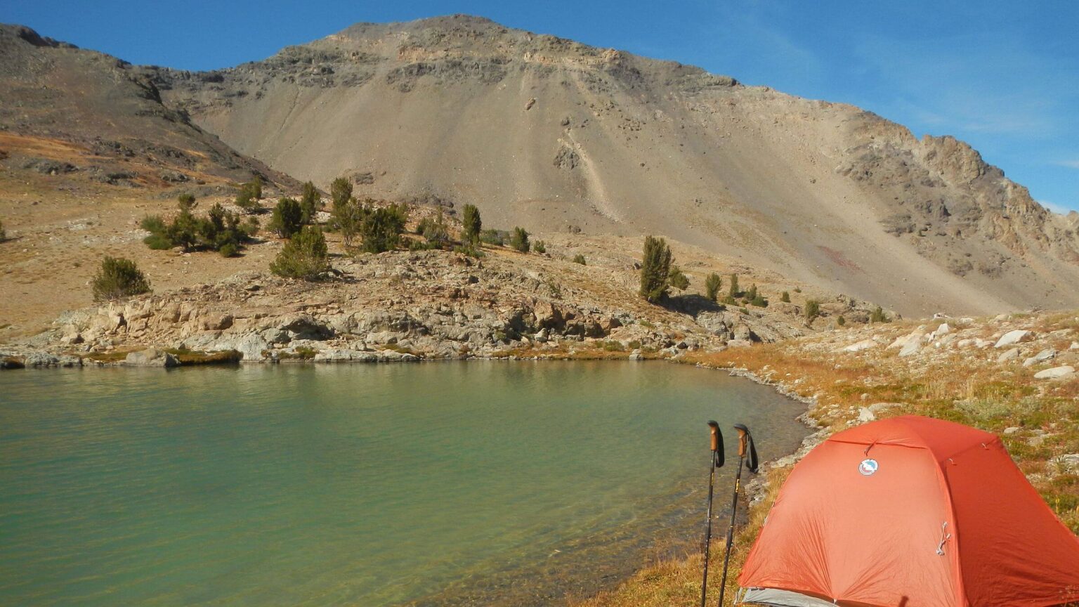
First day was 6-mile trek to Window Lake, rarely visited alpine lake nestled below 11,000-foot ridge. On other side was Boulder City, deserted mining town accessed by old road that turns into trail of sorts to pass. We would camp at Window Lake, cross Boulder Basin, drop into South Fork-East Fork Salmon River basin for second camp, hike down East Fork bike trail, and hike over West Pass to return to our start at North Fork-West Fork Wood River Trailhead.When we scrambled over last ridge to Window Lake we saw mountain goats racing up hillside. More secure half-mile above us, they loitered on steep slopes for several hours as we found a campsite, set up near lake (only flat area), and David got out fishing gear.
Lake exploded with jumping fish and David reeled in large rainbow on almost every cast. Later we enjoyed four fish cooked in foil on a small fire from gathered dead wood.
Instead of fishing, I went exploring. In side basin with smaller lake I surprised two nannies and two kids! Next I walked around our lake and checked out best route for ridge climb, what looked like old trail. Or so I thought.
But next morning, after circling lake and following trail up a drainage, I found myself clawing my way up a rocky couloir. David had gone up the scree to a goat route, but my “trail” suddenly went straight up a drainage.
At top I skittered across side slope to David’s “trail.” The steep climb had a few switchbacks and near the top a view of the “Window” stone formation that gave the lake its name. We looked down other side at steep Boulder Basin.
On his 2021 trek, David dropped into basin to find old road and trail we had taken to the pass. This time he thought we might find a better route over a small peak and down a ridge. But David’s scouting scramble revealed much more rugged terrain than visible from his planning with Google Earth imagery. Back into basin, with 500 more feet to drop in only one-third-mile distance—that translates to 1500 feet elevation change per mile—yikes!
Terrain went from slidy soil to small rolling rocks. I froze, terrified, and wedged myself on a boulder. David told me to leave my pack. I was frightened just getting it off and stabilized on a rock.
I nervously made my way down a bit farther. David bounced across, got my pack, and left it halfway down basin in some brush. He told me to follow the vegetation. I saw him striding on scree far below as I buckled on my pack and inched down the draw. I passed a couple old game routes heading back to ridge.
Finally gained Boulder Pass Trail, much worse than I remembered. Hard to believe we had backpacked it in 80s and 90s with no problem. It made short steep switchbacks in the scree; near pass it crossed slick eroded side slope. On pass a route headed down. I was so focused on getting down that I missed seeing lake we viewed on our 2018 fall hike to Boulder City and ridge.
Following a route through basin below, we found a spring in a drainage and stopped to make breakfast. Trail on down was good where used by wildlife, and almost nonexistent through sagebrush and rocks. Beautiful aspen stands by white scree. About 3 miles down the trail improved, probably due to outfitter with horses whose hunter base camp was on East Fork Salmon River below. Only 6 miles hiking for whole day, but I was beat as we made camp in trees by creek.
On to East Fork, elk hunters & fall colors
Just after dawn we were on trail. I heard a bull elk bugle in dark woods below. Later we heard a strange sound, like an elk’s multi-toned bugle but rising to high-pitched squawk instead of shrill elk scream. We soon met four guys in camouflage looking embarrassed. Perhaps they thought our rustling down trail (anticipating another bugle) was the big bull answering their imitation. On down we saw their four horses tethered. Real bull elk seemed long gone. (David also met horses on 2021 trek but never saw the hunters.)Near the river we missed cutoff trail looping around and hiked more heavily used track through outfitter camp which looked deserted, although I could smell breakfast fire. A mule and two horses in makeshift corral startled as we passed. We put on sandals and forded East Fork—chilly and slippery but only ankle deep—then got on main East Fork Trail, used by motorcycles, mountain bikers, and stock coming to outfitter camp.
Open flat trail offered warm sun and views of bright yellow aspen stands on river below. I changed into t-shirt and cutoffs. On down a big house and horse barn apparently on inholding within national forest. It was just below deserted trailhead and closed Bowery Guard Station. The outfitter’s truck and a second truck with Oregon plates were parked at end of East Fork Road.
At West Pass Road’s end we found two bow hunter camps, one with three motorcycles and three tents, the other with one small tent at boundary. David talked to guys at the larger camp and learned they were locals who avoided hunting up South Fork (where we came from) because of outfitter.
We continued on old, closed road climbing gently, crossed ankle-deep West Fork, and camped at road-cut switchback, only flat around. Up early, steep ascent in airy pink sunrise clouds. Windy in basin and a nasty stretch of down trees through avalanche zone. Steep climb then series of grassy hills (where in 2016, we spooked elk herd descending from West Pass) and long meander to pass.
From 2016 trip I recalled steep ascent—but this time slick trail was much worse going down. We met young woman headed for pass with a friendly dog, then descended rocky switchbacks with grand views of North Fork Big Wood River valley below. A long contour above West Fork North Fork Salmon River and nice switchbacks through Douglas-fir and pinegrass forest.
I didn’t care for Forest Service’s new trail contouring far above West Fork, up and down hillsides. (Old trail went along creek, crossed and then climbed.) Two vehicles at trailhead. Register indicated several others came in the same day we entered but a few hours later, headed to Amber Lakes, West Pass, or a peak. Despite day hikers we had only solitude farther in.
2021 Visit: Revisiting Iconic Boulders
David’s 2021 trek was solo because my arthritic knee failed me in High Uintas Wilderness. Awaiting my first knee replacement surgery, I was drafted as trailhead chauffer.Our 2016 trek across central Idaho wilderness provided inspiration for Boulder traverse. On our way down East Fork North Fork Big Wood River, we saw an old blazed tree for what looked like shortcut trail heading up a canyon to West Pass, which we needed to cross into White Clouds. But we were tired of goat routes, so we stayed on trail to East Fork Trailhead, hiked road back up the North Fork, and followed trail over West Pass.
We kept wondering about that shortcut. David and I came back on a 2023 afternoon day hike up East Fork; found some pretty good switchbacks but ran out of time.
One-way Boulder trek
David used maps and Google Earth to plot a winding route that would cross five passes in Boulders including West Pass “shortcut.” He was not sure the trip was doable. Only the last pass, from Gladiator Creek on the wilderness boundary, had a well-maintained trail.For safety, communication, and coordination, David got a satellite-text phone. (This way he could bail out on any too-difficult pass and arrange pickup from one of several options hiking out to Highway 75.)
I dropped David off at West Fork Trailhead (just beyond Trail Creek Summit on Trail Creek Road from Ketchum) with plans to pick him up six days later at Galena Lodge outside wilderness. First day on previously hiked trail passed uneventfully, aside from very cold camping near high pass.
On Day2, David dropped down goat route and farther down met only hikers of trip (until last day)— a couple with a dog who came up maintained East Fork Trail and turned around just below shortcut to West Pass. He did not find blaze but followed GPS track to route from Google Earth imagery; was confused by multiple elk paths. Rather than hike until dark, he leveled a tent site on the steep slope with rotten wood above a big Douglas-fir.
Next morning, elk route maze in basin led to elk wallow and 9000-foot pass just across from West Pass. Footprints indicated weekend elk hunters from West Pass. He followed route to another elk wallow, and beyond that, West Pass Trail.
Elk & goat routes to “trailless” pass
David took trails to West Fork Big Wood River Trail, then followed GPS route toward Window Lake, where he hoped to find his way over two passes. To his pleasant surprise, elk had kept open an old trail almost to Window Lake. From there, side slope scramble on steep scree connected to goat route to the pass, marked by a natural stone window. However, his planned “ridge run” to pass above Boulder City (which we had hiked before) had a rugged volcanic fin along last section that looked too rough for hiking with a backpack.David scrambled down scree into Boulder Basin and found route we hiked before from old mining town up to a pass. We had easily backpacked this trail over ridge and down South Fork of East Fork Salmon River and on to White Clouds in 1993. But route over ridge now poor and very little trail on other side. David descended into basin and camped at first level spot with trees. Just after sunset, wolf howls echoed through basin.
Minimal trail next morning until he found two horses tied to trees, whose unseen riders were no doubt stalking elk with bows. Below the horses, trail improved considerably. At confluence of South and West forks of East Fork Salmon River, he missed his turnoff for Grand Prize Gulch Trail and took the more heavily-used spur trail to outfitter’s camp, probably source of the horsemen. A packer was leaving camp with two horses carrying bagged elk halves followed by the hunter on a horse. David waded East Fork and stopped to dry gear (from previous night’s heavy condensation) on sunny riverbank.
Motorcycle hunters & mountain bikers
Quick hiking up well-maintained Grand Prize Gulch Trail along wilderness boundary, cleared with chainsaw because outside wilderness (where trail maintenance is not limited by Forest Service’s strict interpretation of Wilderness Act prohibition on mechanized equipment). David saw no one all afternoon despite signs of heavy motorcycle use.He filtered water at river a couple miles before camping near junction with dry Gladiator Trail, his route for last day out of Boulders. In the evening, hunters with high-tech bows riding motorcycles passed his camp. He saw two more hunters next morning, walking quietly.
On last morning, David hiked steep little-used trail to pass near Gladiator Peak, then dropped down to Galena Lodge as weekend mountain bike groups piled onto network of cross-country ski trails that double as bike trails in snow-off seasons. He had called me via satellite phone to meet at Galena, but I was delayed by tourist traffic on Highway 75; when I got to Galena, David was on lodge deck, editing GPS data.
Boulder-Hemingway Wilderness could be a great backpacking area with a few more connecting trails. Elk and mountain goats have provided a good head start.
show less
Google Map
(Click upper-right box above map to “view larger map” and see legend including NAVIGATION INSTRUCTIONS; expand/contract legend by clicking right arrow down/up.)